Transport Functions
Port
Hub Profile
Region
ES
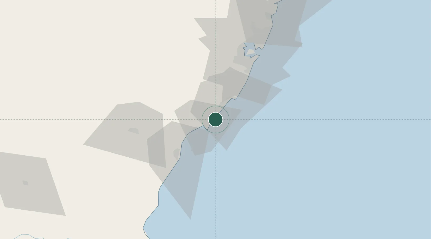
Location
Nearby Logistics Neighbours
Cities
- 1Itapemirim38 km
- 2Marechal Floriano40 km
- 3Vila Velha51 km
- 4Vitória56 km
- 5Cachoeiro de Itapemirim56 km
Ports
- 1Vitoria56 km
- 2Tubarao63 km
- 3Macae217 km
- 4Porto Do Forno287 km
- 5Niteroi353 km
Airports
Trade Zones
- 1ZPE de Aracruz (ES)126 km
- 2ZPE do Açú (RJ)129 km
- 3ZPE de Teófilo Otoni (MG)337 km
- 4ZPE de Itaguaí (RJ)408 km
- 5Zona Franca Ilhéus (BA)701 km
DatabookThe Record of Consolidated Knowledge
Brazil beyond logistics?