Small airport · Brazil

Guarapari AirportSNGA
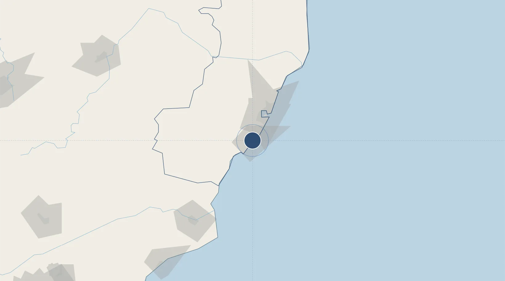
-20.6465°, -40.4919°
3,570 ft
Longest runway
1
Runways
30 ft
Elevation

Runway & Layout

Guarapari Airport runway & taxiway layout
Runway & taxiway layout — OpenStreetMap (ODbL) / OurAirports

Runways · 1

RunwayDimensions SurfaceTrue headingLit
06/24 3,570 × 92ft ASPH
OurAirports

Airport Specifications

IATA code
GUZ
OurAirports
ICAO code
SNGA
OurAirports
Airport class
Small airport
OurAirports
Scheduled service
Yes
OurAirports
Runway surface
ASPH
OurAirports
Served city
Guarapari
OurAirports

Location

Location of SNGA
Natural Earth 10m (public domain) · Espírito Santo · SNGA · -20.65, -40.49GoogleOSMYandex

Nearby Logistics Neighbours

Airports
  1. 1Eurico de Aguiar Salles International Airport48 km
  2. 2Eletrocity Heliport56 km
  3. 3Bartolomeu Lisandro Airport144 km
  4. 4Linhares Municipal Airport150 km
  5. 5Macaé Benedito Lacerda Airport230 km
Nearest neighbours — logibook spatial index (haversine) over the source coordinates
Cities
  1. 1Ponta do Ubu Pt / Anchieta16 km
  2. 2Marechal Floriano31 km
  3. 3Vila Velha35 km
  4. 4Vitória40 km
  5. 5Cariacica42 km
Nearest neighbours — logibook spatial index (haversine) over the source coordinates
Ports
  1. 1Vitoria40 km
  2. 2Tubarao48 km
  3. 3Macae232 km
  4. 4Porto Do Forno302 km
  5. 5Niteroi368 km
Nearest neighbours — logibook spatial index (haversine) over the source coordinates
Trade Zones
  1. 1ZPE de Aracruz (ES)110 km
  2. 2ZPE do Açú (RJ)144 km
  3. 3ZPE de Teófilo Otoni (MG)326 km
  4. 4ZPE de Itaguaí (RJ)422 km
  5. 5Zona Franca Ilhéus (BA)686 km
Nearest neighbours — logibook spatial index (haversine) over the source coordinates
DatabookThe Record of Consolidated Knowledge
Brazil beyond logistics?
Browse databook

All Sources

AirportsOurAirports
Public domain
Portsthe NGA World Port Index
Public domain (US gov)
LocationsUN/LOCODE
UN/LOCODE — free
Trade Zonesthe World Bank SEZ database
CC BY 4.0
Trade ZonesOpen Zone Map
CC BY
InfrastructureOpenStreetMap
ODbL 1.0
← Brazil airports