Medium airport · Brazil
Linhares Municipal AirportSNLN
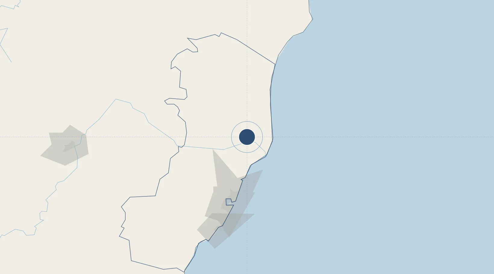
-19.3552°, -40.0713°
6,102 ft
Longest runway
1
Runways
138 ft
Elevation
Runway & Layout

Runways · 1
| Runway | Dimensions | Surface | True heading | Lit |
|---|---|---|---|---|
| 06/24 | 6,102 × 148ft | ASPH | — | ✓ |
Airport Specifications
IATA code
LHN
ICAO code
SNLN
Airport class
Medium airport
Scheduled service
No
Runway surface
ASPH
Served city
Linhares
Location
Nearby Logistics Neighbours
Airports
- 1Eletrocity Heliport96 km
- 2Eurico de Aguiar Salles International Airport103 km
- 3Guarapari Airport150 km
- 4Coronel Altino Machado Airport207 km
- 5Caravelas Airport208 km
Cities
- 1Linhares4 km
- 2João Neiva54 km
- 3Barra do Riacho Pt / Aracruz55 km
- 4Colatina61 km
- 5São Mateus75 km
Ports
- 1Tubarao105 km
- 2Vitoria110 km
- 3Macae378 km
- 4Porto Do Forno449 km
- 5Niteroi504 km
Trade Zones
- 1ZPE de Aracruz (ES)44 km
- 2ZPE de Teófilo Otoni (MG)223 km
- 3ZPE do Açú (RJ)294 km
- 4Zona Franca Ilhéus (BA)537 km
- 5ZPE de Itaguaí (RJ)551 km
DatabookThe Record of Consolidated Knowledge
Brazil beyond logistics?