Large airport · Brazil
Eurico de Aguiar Salles International AirportSBVT
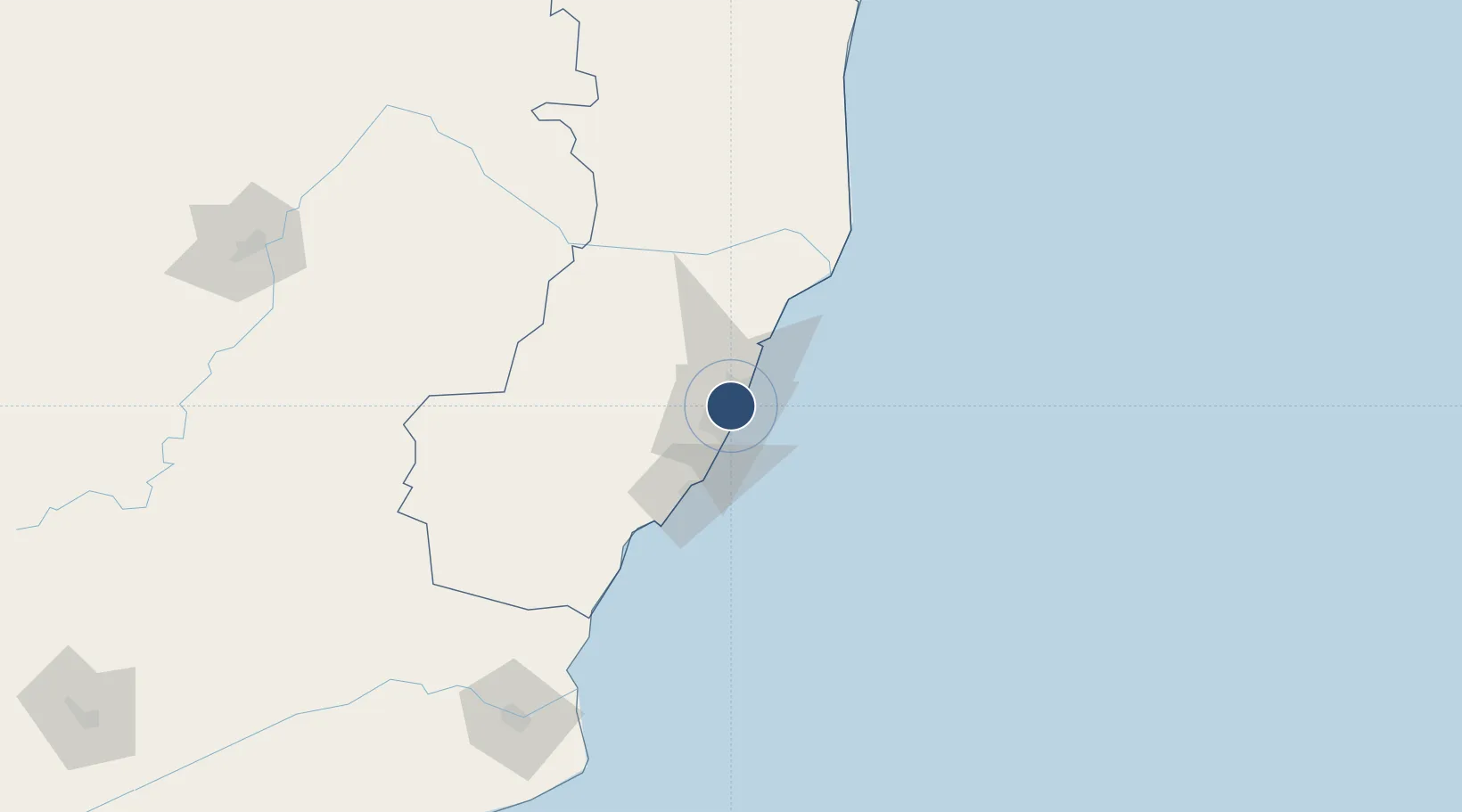
-20.2580°, -40.2850°
6,752 ft
Longest runway
2
Runways
34 ft
Elevation
Runway & Layout

Radio Frequencies
ATIS
127.575 MHz
VITORIA ATIS
TWR
118.1 MHz
VITORIA TWR
APP
119.85 MHz
VITORIA APP
Navaids
VTR VOR-DME Vitoria 115.50 MHz
VTR NDB Vitoria 350 kHz
Runways · 2
| Runway | Dimensions | Surface | True heading | Lit |
|---|---|---|---|---|
| 02/20 | 6,752 × 148ft | ASPH | — | ✓ |
| 06/24 | 5,742 × 148ft | ASPH | — | ✓ |
Airport Specifications
IATA code
VIX
ICAO code
SBVT
Airport class
Large airport
Scheduled service
Yes
Runway surface
ASPH
Served city
Vitória
Location
Nearby Logistics Neighbours
Airports
- 1Eletrocity Heliport8 km
- 2Guarapari Airport48 km
- 3Linhares Municipal Airport103 km
- 4Bartolomeu Lisandro Airport192 km
- 5Coronel Altino Machado Airport234 km
Cities
- 1Tubarão Pt / Vitória7 km
- 2Vitória8 km
- 3Praia Mole Pt / Vitória9 km
- 4Cariacica11 km
- 5Serra12 km
Ports
- 1Tubarao5 km
- 2Vitoria8 km
- 3Macae280 km
- 4Porto Do Forno350 km
- 5Niteroi413 km
Trade Zones
- 1ZPE de Aracruz (ES)62 km
- 2ZPE do Açú (RJ)192 km
- 3ZPE de Teófilo Otoni (MG)294 km
- 4ZPE de Itaguaí (RJ)466 km
- 5Zona Franca Ilhéus (BA)640 km
DatabookThe Record of Consolidated Knowledge
Brazil beyond logistics?