UN/LOCODE hub · Brazil
BRMFO
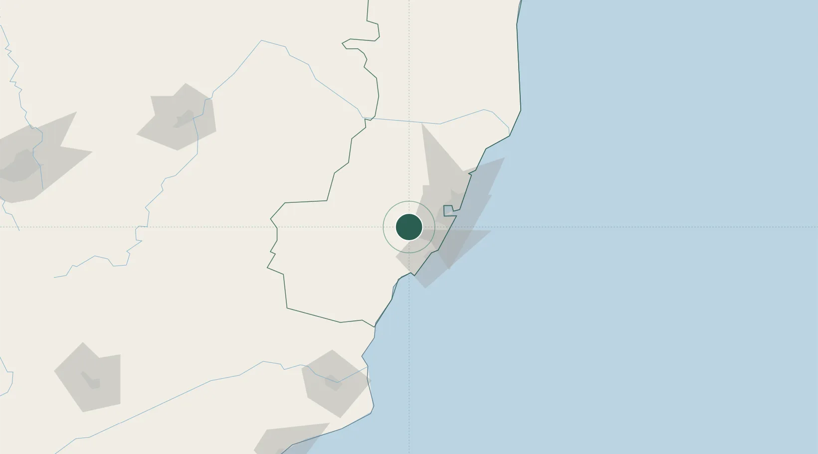
Marechal Floriano
-20.4167°, -40.6667°
18,743
Population
2
Transport functions
Transport Functions
Rail
Road
Hub Profile
Place type
Populated place
Region
Espírito Santo
Population
18,743
Time zone
America/Sao_Paulo
Elevation
555 m
Location
Nearby Logistics Neighbours
Cities
- 1Cariacica33 km
- 2Vila Velha36 km
- 3Vitória38 km
- 4Ponta do Ubu Pt / Anchieta40 km
- 5Praia Mole Pt / Vitória49 km
Ports
- 1Vitoria37 km
- 2Tubarao46 km
- 3Macae245 km
- 4Porto Do Forno316 km
- 5Niteroi373 km
Airports
Trade Zones
- 1ZPE de Aracruz (ES)99 km
- 2ZPE do Açú (RJ)163 km
- 3ZPE de Teófilo Otoni (MG)296 km
- 4ZPE de Itaguaí (RJ)424 km
- 5Zona Franca Ilhéus (BA)665 km
DatabookThe Record of Consolidated Knowledge
Brazil beyond logistics?