UN/LOCODE hub · Brazil
BRVIX
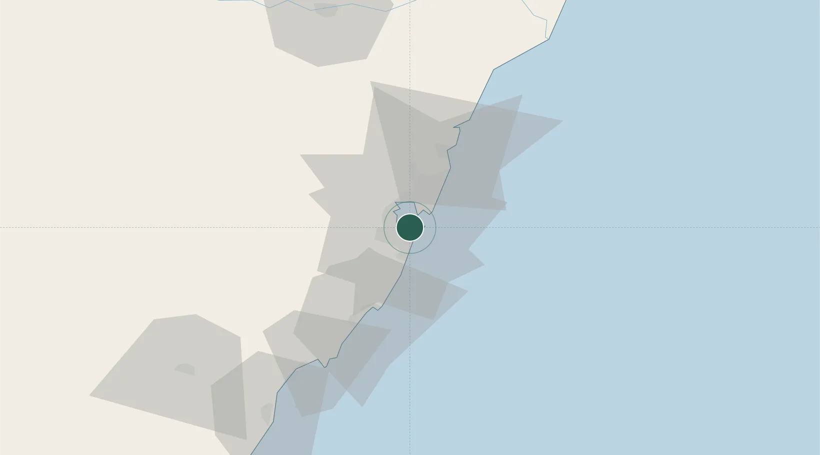
Vitória
-20.3256°, -40.3153°
312,656
Population
5
Transport functions
1
Container terminals
Transport Functions
Port
Rail
Road
Airport
Multimodal
Hub Profile
Place type
Regional capital
Region
Espírito Santo
Population
312,656
Time zone
America/Sao_Paulo
Elevation
16 m
Logistics facilities
8
Container terminals
1
Location
Nearby Logistics Neighbours
Cities
- 1Vila Velha5 km
- 2Cariacica9 km
- 3Praia Mole Pt / Vitória11 km
- 4Tubarão Pt / Vitória12 km
- 5Serra20 km
Ports
- 1Tubarao8 km
- 2Macae272 km
- 3Porto Do Forno342 km
- 4Niteroi406 km
- 5Rio De Janeiro411 km
Airports
Trade Zones
- 1ZPE de Aracruz (ES)70 km
- 2ZPE do Açú (RJ)184 km
- 3ZPE de Teófilo Otoni (MG)300 km
- 4ZPE de Itaguaí (RJ)459 km
- 5Zona Franca Ilhéus (BA)648 km
DatabookThe Record of Consolidated Knowledge
Brazil beyond logistics?