Transport Functions
Port
Road
Multimodal
Hub Profile
Place type
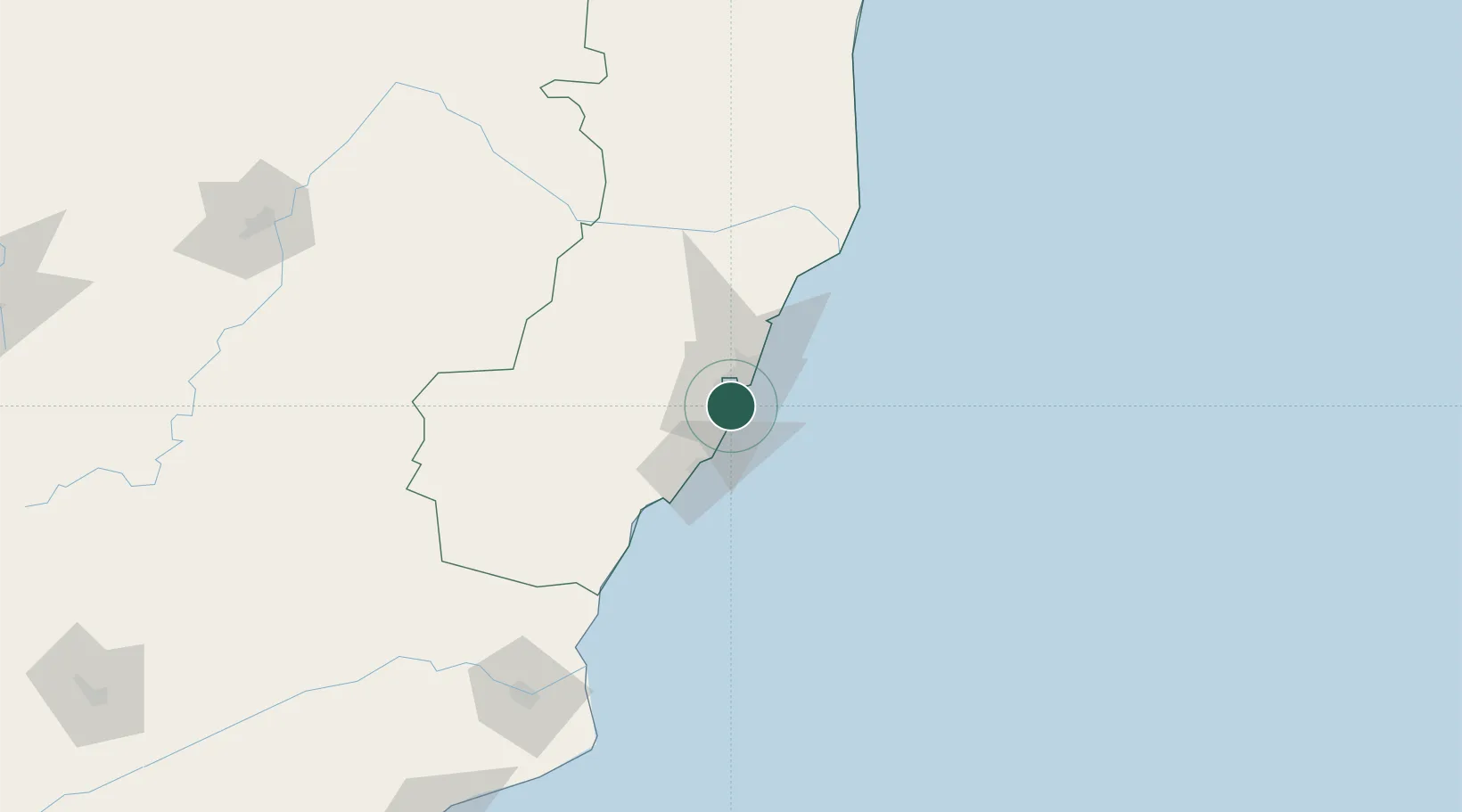
Populated place
Region
Espírito Santo
Population
394,930
Time zone
America/Sao_Paulo
Elevation
5 m
Logistics facilities
3
Location
Nearby Logistics Neighbours
Cities
- 1Vitória5 km
- 2Cariacica11 km
- 3Praia Mole Pt / Vitória14 km
- 4Tubarão Pt / Vitória16 km
- 5Serra25 km
Ports
- 1Vitoria6 km
- 2Tubarao12 km
- 3Macae268 km
- 4Porto Do Forno338 km
- 5Niteroi402 km
Airports
Trade Zones
- 1ZPE de Aracruz (ES)75 km
- 2ZPE do Açú (RJ)179 km
- 3ZPE de Teófilo Otoni (MG)304 km
- 4ZPE de Itaguaí (RJ)455 km
- 5Zona Franca Ilhéus (BA)653 km
DatabookThe Record of Consolidated Knowledge
Brazil beyond logistics?