UN/LOCODE hub · Brazil
BRCDI

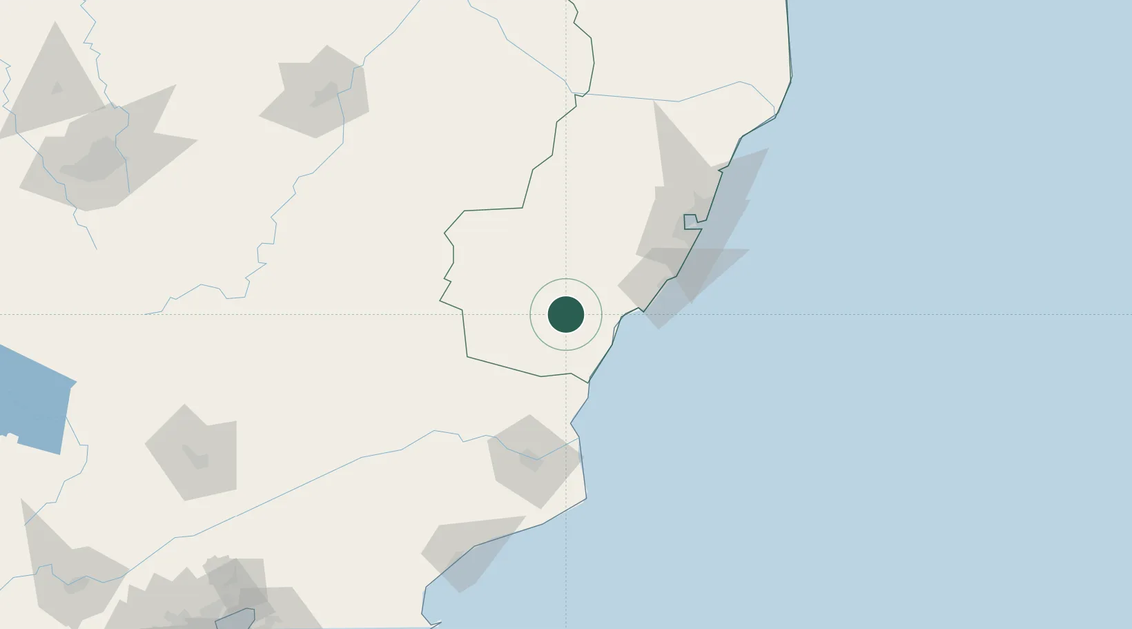
Cachoeiro de Itapemirim

-20.8500°, -41.1000°
187,019
Population
3
Transport functions

Transport Functions

Rail
Road
Airport
UN/LOCODE

Hub Profile

Place type
Populated place
GeoNames
Region
Espírito Santo
GeoNames
Population
187,019
GeoNames
Time zone
America/Sao_Paulo
GeoNames
Elevation
39 m
GeoNames

Location

Location of BRCDI
Natural Earth 10m (public domain) · Espírito Santo · BRCDI · -20.85, -41.10GoogleOSMYandex

Nearby Logistics Neighbours

Cities
  1. 1Presidente Kennedy28 km
  2. 2Itapemirim32 km
  3. 3Ponta do Ubu Pt / Anchieta56 km
  4. 4Marechal Floriano66 km
  5. 5Vila Velha97 km
Nearest neighbours — logibook spatial index (haversine) over the source coordinates
Ports
  1. 1Vitoria99 km
  2. 2Tubarao109 km
  3. 3Macae182 km
  4. 4Porto Do Forno254 km
  5. 5Niteroi307 km
Nearest neighbours — logibook spatial index (haversine) over the source coordinates
Airports
  1. 1Guarapari Airport67 km
  2. 2Bartolomeu Lisandro Airport97 km
  3. 3Eurico de Aguiar Salles International Airport107 km
  4. 4Eletrocity Heliport115 km
  5. 5Macaé Benedito Lacerda Airport180 km
Nearest neighbours — logibook spatial index (haversine) over the source coordinates
Trade Zones
  1. 1ZPE do Açú (RJ)110 km
  2. 2ZPE de Aracruz (ES)165 km
  3. 3ZPE de Teófilo Otoni (MG)334 km
  4. 4ZPE de Itaguaí (RJ)359 km
  5. 5Zona Franca Ilhéus (BA)723 km
Nearest neighbours — logibook spatial index (haversine) over the source coordinates
DatabookThe Record of Consolidated Knowledge
Brazil beyond logistics?
Browse databook

All Sources

LocationsUN/LOCODE
UN/LOCODE — free
LocationsGeoNames
CC BY 4.0
Portsthe NGA World Port Index
Public domain (US gov)
AirportsOurAirports
Public domain
Trade Zonesthe World Bank SEZ database
CC BY 4.0
Trade ZonesOpen Zone Map
CC BY
← Brazil locations