Medium airport · Brazil
Bartolomeu Lisandro AirportSBCP
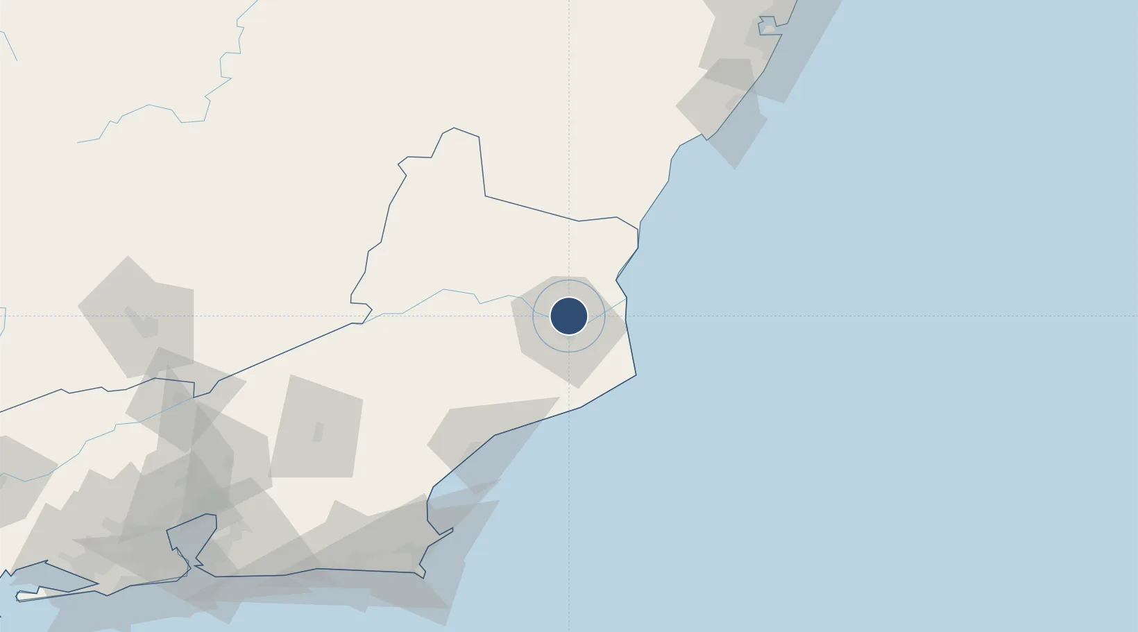
-21.6983°, -41.3017°
5,066 ft
Longest runway
1
Runways
59 ft
Elevation
Runway & Layout

Radio Frequencies
AFIS
125.7 MHz
CAMPOS RDO
Navaids
CPO NDB Campos 225 kHz
Runways · 1
| Runway | Dimensions | Surface | True heading | Lit |
|---|---|---|---|---|
| 07/25 | 5,066 × 148ft | ASPH | — | ✓ |
Airport Specifications
IATA code
CAW
ICAO code
SBCP
Airport class
Medium airport
Scheduled service
Yes
Runway surface
ASPH
Served city
Campos dos Goytacazes
Location
Nearby Logistics Neighbours
Airports
- 1Macaé Benedito Lacerda Airport86 km
- 2Umberto Modiano Airport137 km
- 3Guarapari Airport144 km
- 4Cabo Frio Airport157 km
- 5Eurico de Aguiar Salles International Airport192 km
Cities
- 1Campos dos Goytacazes6 km
- 2Açu Pt / São João da Barra32 km
- 3Presidente Kennedy71 km
- 4Macaé88 km
- 5Itapemirim92 km
Ports
- 1Macae88 km
- 2Porto Do Forno159 km
- 3Vitoria184 km
- 4Tubarao192 km
- 5Niteroi229 km
Trade Zones
- 1ZPE do Açú (RJ)31 km
- 2ZPE de Aracruz (ES)253 km
- 3ZPE de Itaguaí (RJ)288 km
- 4ZPE de Teófilo Otoni (MG)427 km
- 5ZPE de Uberaba (MG)730 km
DatabookThe Record of Consolidated Knowledge
Brazil beyond logistics?