Transport Functions
Port
Road
Hub Profile
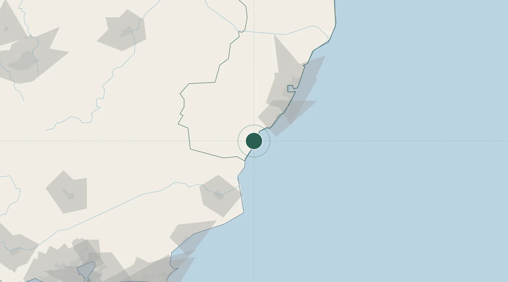
Place type
Populated place
Region
Espírito Santo
Population
39,832
Time zone
America/Sao_Paulo
Elevation
9 m
Location
Nearby Logistics Neighbours
Cities
- 1Presidente Kennedy25 km
- 2Cachoeiro de Itapemirim32 km
- 3Ponta do Ubu Pt / Anchieta38 km
- 4Marechal Floriano67 km
- 5Vila Velha88 km
Ports
- 1Vitoria92 km
- 2Tubarao100 km
- 3Macae180 km
- 4Porto Do Forno250 km
- 5Niteroi315 km
Airports
Trade Zones
- 1ZPE do Açú (RJ)96 km
- 2ZPE de Aracruz (ES)162 km
- 3ZPE de Teófilo Otoni (MG)355 km
- 4ZPE de Itaguaí (RJ)370 km
- 5Zona Franca Ilhéus (BA)732 km
DatabookThe Record of Consolidated Knowledge
Brazil beyond logistics?