Heliport · Brazil

Eletrocity HeliportBR-3221
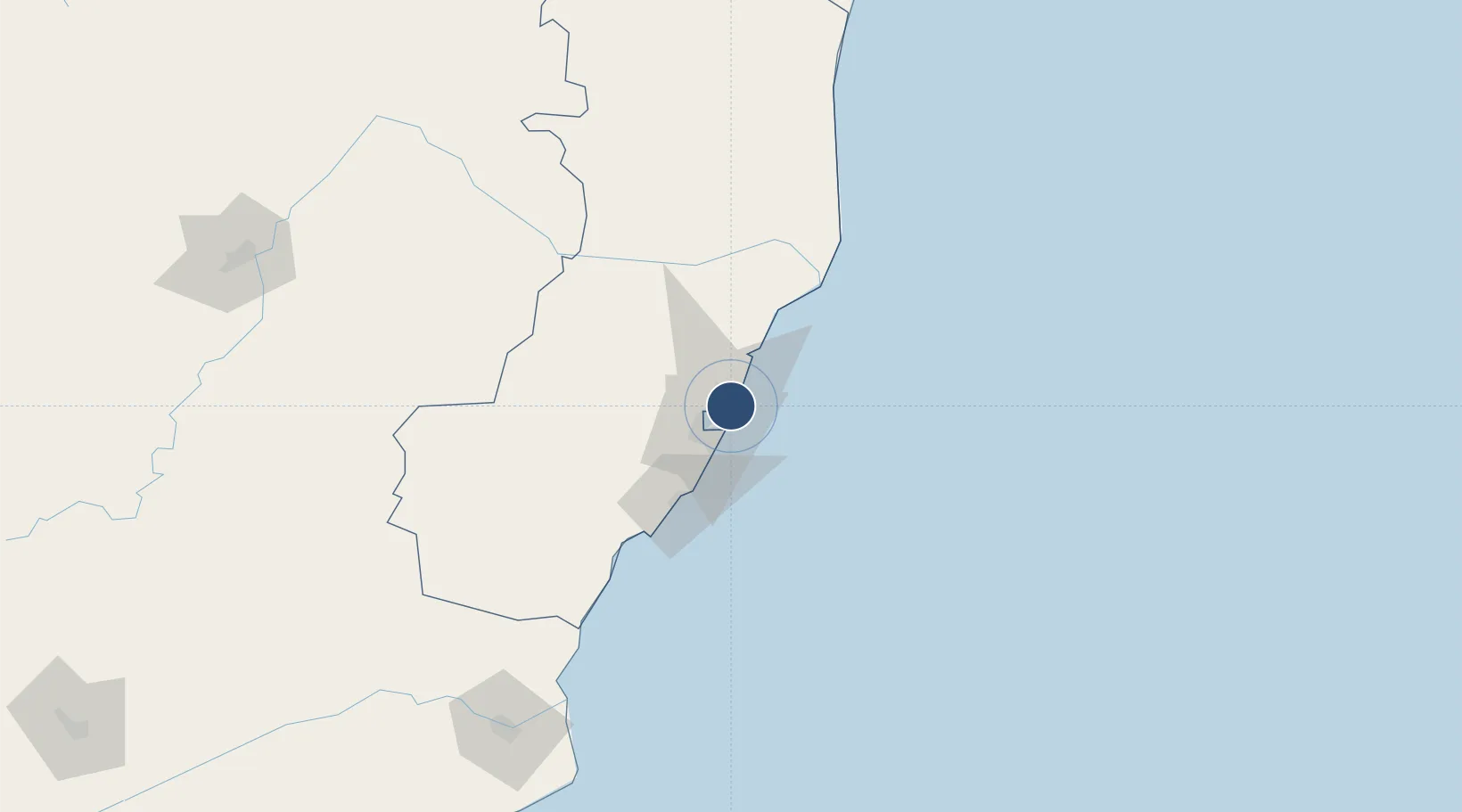
-20.2076°, -40.2349°
59 ft
Longest runway
1
Runways
75 ft
Elevation

Runway & Layout

Eletrocity Heliport runway & taxiway layout
Runway & taxiway layout — OpenStreetMap (ODbL) / OurAirports

Runways · 1

RunwayDimensions SurfaceTrue headingLit
12/22 59 × 59ft CONC
OurAirports

Airport Specifications

Airport class
Heliport
OurAirports
Scheduled service
Yes
OurAirports
Runway surface
CONC
OurAirports
Served city
Serra
OurAirports

Location

Location of BR-3221
Natural Earth 10m (public domain) · Espírito Santo · BR-3221 · -20.21, -40.23GoogleOSMYandex

Nearby Logistics Neighbours

Airports
  1. 1Eurico de Aguiar Salles International Airport8 km
  2. 2Guarapari Airport56 km
  3. 3Linhares Municipal Airport96 km
  4. 4Bartolomeu Lisandro Airport199 km
  5. 5Coronel Altino Machado Airport234 km
Nearest neighbours — logibook spatial index (haversine) over the source coordinates
Cities
  1. 1Tubarão Pt / Vitória7 km
  2. 2Serra7 km
  3. 3Praia Mole Pt / Vitória10 km
  4. 4Vitória16 km
  5. 5Cariacica18 km
Nearest neighbours — logibook spatial index (haversine) over the source coordinates
Ports
  1. 1Tubarao9 km
  2. 2Vitoria16 km
  3. 3Macae288 km
  4. 4Porto Do Forno358 km
  5. 5Niteroi421 km
Nearest neighbours — logibook spatial index (haversine) over the source coordinates
Trade Zones
  1. 1ZPE de Aracruz (ES)55 km
  2. 2ZPE do Açú (RJ)200 km
  3. 3ZPE de Teófilo Otoni (MG)292 km
  4. 4ZPE de Itaguaí (RJ)474 km
  5. 5Zona Franca Ilhéus (BA)634 km
Nearest neighbours — logibook spatial index (haversine) over the source coordinates
DatabookThe Record of Consolidated Knowledge
Brazil beyond logistics?
Browse databook

All Sources

AirportsOurAirports
Public domain
Portsthe NGA World Port Index
Public domain (US gov)
LocationsUN/LOCODE
UN/LOCODE — free
Trade Zonesthe World Bank SEZ database
CC BY 4.0
Trade ZonesOpen Zone Map
CC BY
InfrastructureOpenStreetMap
ODbL 1.0
← Brazil airports