UN/LOCODE hub · Brazil
BRPOO
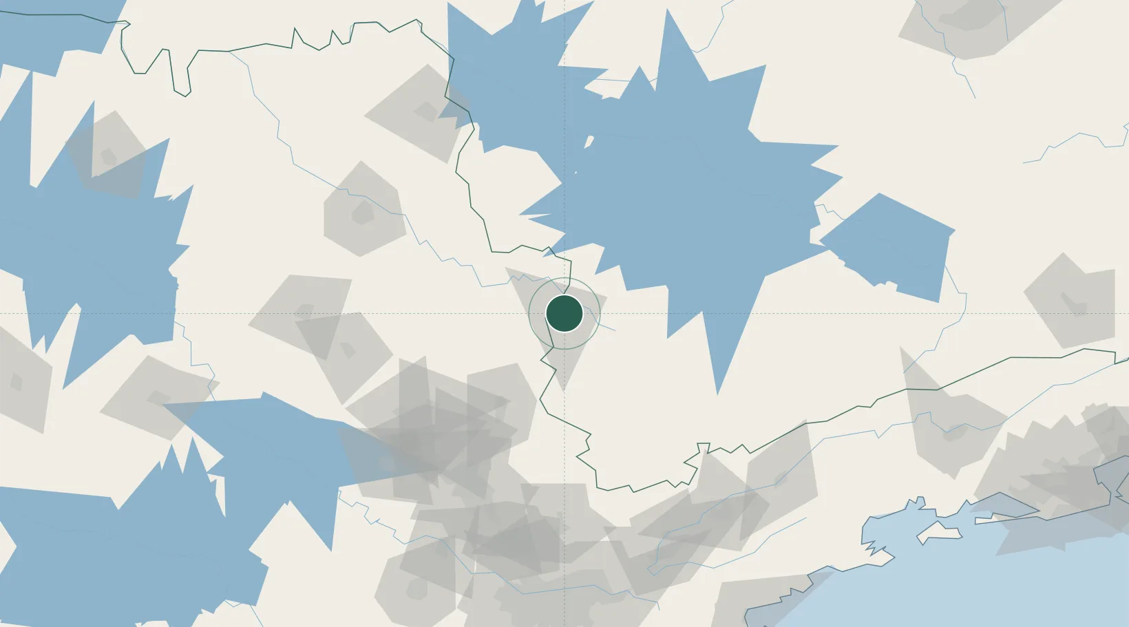
Poços de Caldas
-21.7833°, -46.5500°
168,641
Population
3
Transport functions
Transport Functions
Rail
Road
Airport
Hub Profile
Place type
Provincial seat
Region
Minas Gerais
Population
168,641
Time zone
America/Sao_Paulo
Elevation
1,222 m
Location
Nearby Logistics Neighbours
Cities
- 1Guaxupé57 km
- 2Mogi Guaçu74 km
- 3Pouso Alegre80 km
- 4Varginha120 km
- 5Paulínia124 km
Ports
- 1Santos242 km
- 2Sao Sebastiao253 km
- 3Angra Dos Reis267 km
- 4Rio De Janeiro369 km
- 5Niteroi374 km
Airports
Trade Zones
- 1ZPE de Uberaba (MG)276 km
- 2ZPE de Itaguaí (RJ)311 km
- 3ZPE de Fernandópolis (SP)420 km
- 4ZPE do Açú (RJ)569 km
- 5ZPE de Bataguassú (MS)605 km
DatabookThe Record of Consolidated Knowledge
Brazil beyond logistics?