Medium airport · Brazil

Major Brigadeiro Trompowsky AirportSBVG
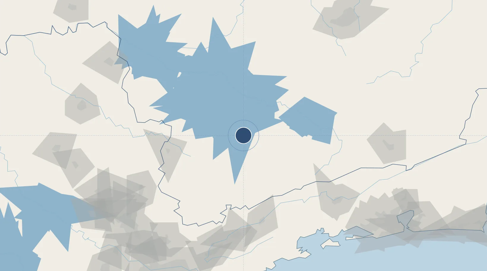
-21.5914°, -45.4741°
6,890 ft
Longest runway
1
Runways
3,025 ft
Elevation

Runway & Layout

Major Brigadeiro Trompowsky Airport runway & taxiway layout
Runway & taxiway layout — OpenStreetMap (ODbL) / OurAirports

Radio Frequencies

AFIS
131.85 MHz
VARGINHA RDO
OurAirports

Navaids

VGH NDB Varginha 325 kHz
OurAirports

Runways · 1

RunwayDimensions SurfaceTrue headingLit
04/22 6,890 × 98ft Asphalt 021°
OurAirports

Airport Specifications

IATA code
VAG
OurAirports
ICAO code
SBVG
OurAirports
Airport class
Medium airport
OurAirports
Scheduled service
No
OurAirports
Runway surface
Asphalt
OurAirports
Served city
Varginha
OurAirports

Location

Location of SBVG
Natural Earth 10m (public domain) · Minas Gerais · SBVG · -21.59, -45.47GoogleOSMYandex

Nearby Logistics Neighbours

Airports
  1. 1Poços de Caldas - Embaixador Walther Moreira Salles Airport117 km
  2. 2N. S. A. Heliport128 km
  3. 3Edu Chaves Field136 km
  4. 4Base de Aviação de Taubaté161 km
  5. 5Major Brigadeiro Doorgal Borges Airport181 km
Nearest neighbours — logibook spatial index (haversine) over the source coordinates
Cities
  1. 1Varginha8 km
  2. 2Lavras65 km
  3. 3Pouso Alegre84 km
  4. 4Poços de Caldas113 km
  5. 5Cruzeiro121 km
Nearest neighbours — logibook spatial index (haversine) over the source coordinates
Ports
  1. 1Angra Dos Reis198 km
  2. 2Sao Sebastiao246 km
  3. 3Santos276 km
  4. 4Rio De Janeiro279 km
  5. 5Niteroi282 km
Nearest neighbours — logibook spatial index (haversine) over the source coordinates
Trade Zones
  1. 1ZPE de Itaguaí (RJ)228 km
  2. 2ZPE de Uberaba (MG)336 km
  3. 3ZPE do Açú (RJ)459 km
  4. 4ZPE de Fernandópolis (SP)519 km
  5. 5ZPE de Teófilo Otoni (MG)588 km
Nearest neighbours — logibook spatial index (haversine) over the source coordinates
DatabookThe Record of Consolidated Knowledge
Brazil beyond logistics?
Browse databook

All Sources

AirportsOurAirports
Public domain
Portsthe NGA World Port Index
Public domain (US gov)
LocationsUN/LOCODE
UN/LOCODE — free
Trade Zonesthe World Bank SEZ database
CC BY 4.0
Trade ZonesOpen Zone Map
CC BY
InfrastructureOpenStreetMap
ODbL 1.0
← Brazil airports