Transport Functions
Rail
Road
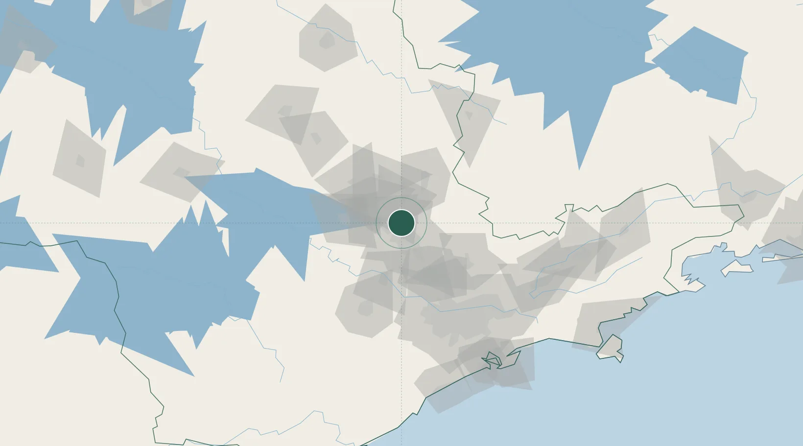
Hub Profile
Place type
Provincial seat
Region
São Paulo
Population
112,003
Time zone
America/Sao_Paulo
Elevation
588 m
Location
Nearby Logistics Neighbours
Cities
- 1Sumaré12 km
- 2Campinas20 km
- 3Mogi Guaçu50 km
- 4Jundiaí58 km
- 5Várzea Paulista61 km
Ports
- 1Santos159 km
- 2Sao Sebastiao214 km
- 3Angra Dos Reis292 km
- 4Paranagua336 km
- 5Rio De Janeiro409 km
Airports
Trade Zones
- 1ZPE de Itaguaí (RJ)346 km
- 2ZPE de Uberaba (MG)350 km
- 3ZPE de Fernandópolis (SP)423 km
- 4ZPE de Bataguassú (MS)554 km
- 5ZPE de Imbituba (SC)559 km
DatabookThe Record of Consolidated Knowledge
Brazil beyond logistics?