Transport Functions
Road
Airport
Multimodal
Hub Profile
Place type
Populated place
Region
Minas Gerais
Population
50,911
Time zone
America/Sao_Paulo
Elevation
858 m
Logistics facilities
2
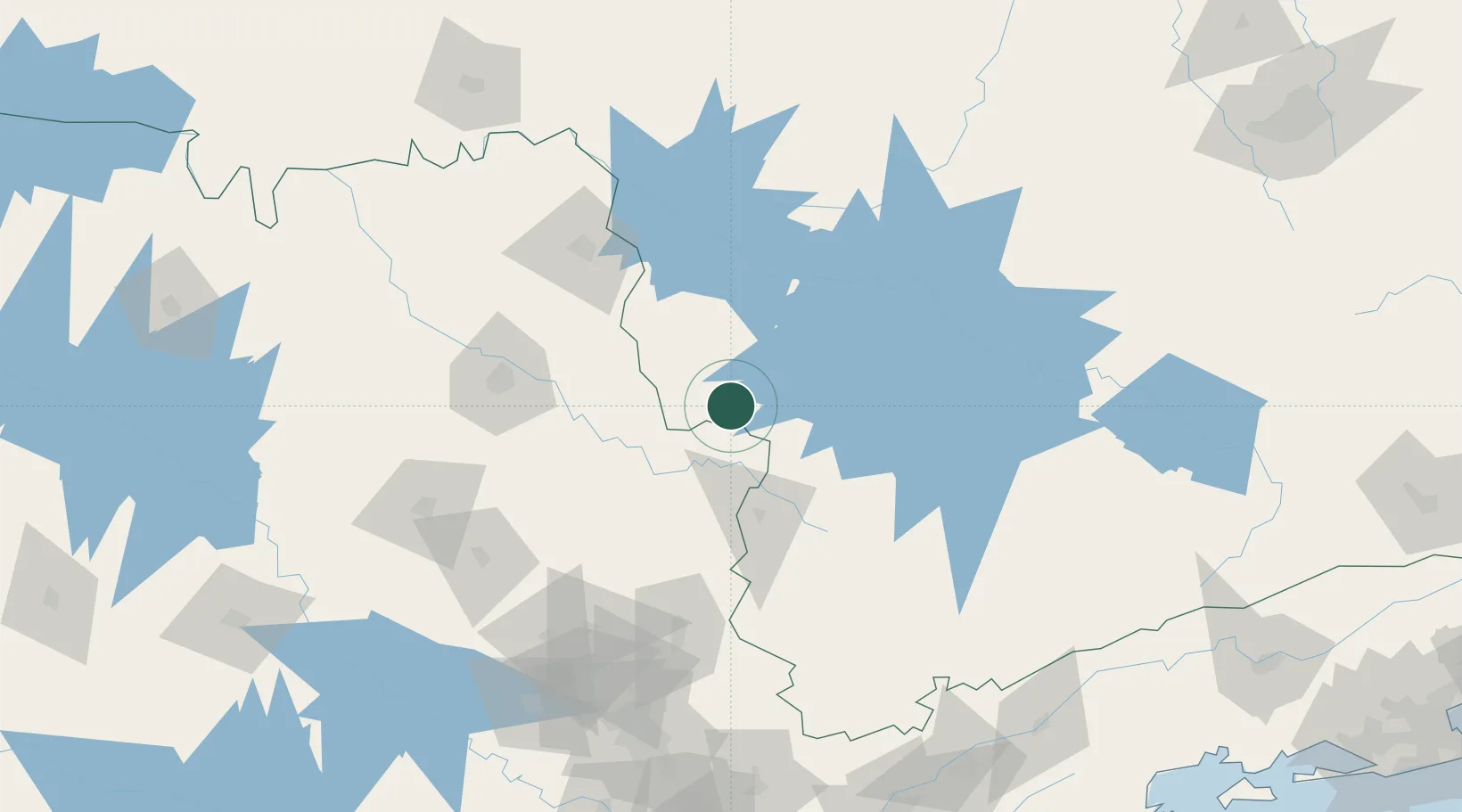
Location
Nearby Logistics Neighbours
Cities
- 1Poços de Caldas57 km
- 2Serrana93 km
- 3Ribeirão Preto112 km
- 4Mogi Guaçu120 km
- 5Pouso Alegre130 km
Ports
- 1Santos299 km
- 2Sao Sebastiao309 km
- 3Angra Dos Reis311 km
- 4Rio De Janeiro405 km
- 5Niteroi409 km
Airports
Trade Zones
- 1ZPE de Uberaba (MG)222 km
- 2ZPE de Itaguaí (RJ)350 km
- 3ZPE de Fernandópolis (SP)388 km
- 4ZPE do Açú (RJ)588 km
- 5ZPE de Bataguassú (MS)593 km
DatabookThe Record of Consolidated Knowledge
Brazil beyond logistics?