Transport Functions
Road
Airport
Multimodal
Hub Profile
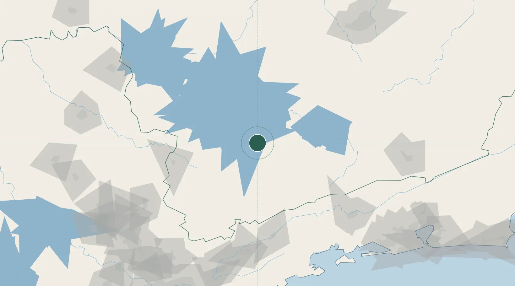
Place type
Populated place
Region
Minas Gerais
Population
136,467
Time zone
America/Sao_Paulo
Elevation
887 m
Location
Nearby Logistics Neighbours
Cities
- 1Lavras57 km
- 2Pouso Alegre91 km
- 3Poços de Caldas120 km
- 4Cruzeiro123 km
- 5Carmo da Mata125 km
Ports
- 1Angra Dos Reis199 km
- 2Sao Sebastiao250 km
- 3Rio De Janeiro276 km
- 4Niteroi279 km
- 5Santos282 km
Airports
Trade Zones
- 1ZPE de Itaguaí (RJ)226 km
- 2ZPE de Uberaba (MG)337 km
- 3ZPE do Açú (RJ)453 km
- 4ZPE de Fernandópolis (SP)523 km
- 5ZPE de Teófilo Otoni (MG)581 km
DatabookThe Record of Consolidated Knowledge
Brazil beyond logistics?