UN/LOCODE hub · Brazil
BRPAR
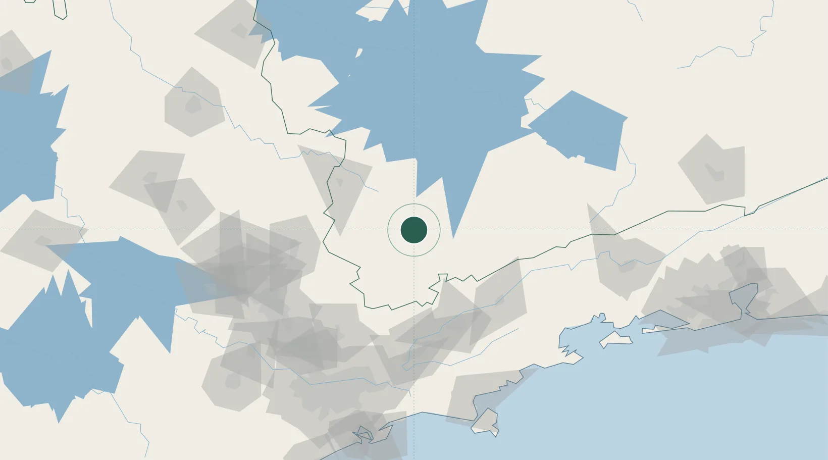
Pouso Alegre
-22.2167°, -45.9333°
152,217
Population
3
Transport functions
Transport Functions
Road
Airport
Multimodal
Hub Profile
Place type
Populated place
Region
Minas Gerais
Population
152,217
Time zone
America/Sao_Paulo
Elevation
832 m
Location
Nearby Logistics Neighbours
Cities
- 1Poços de Caldas80 km
- 2Varginha91 km
- 3Pindamonhangaba92 km
- 4Taubaté97 km
- 5Roseira99 km
Ports
- 1Sao Sebastiao184 km
- 2Angra Dos Reis188 km
- 3Santos196 km
- 4Rio De Janeiro294 km
- 5Niteroi299 km
Airports
Trade Zones
- 1ZPE de Itaguaí (RJ)234 km
- 2ZPE de Uberaba (MG)352 km
- 3ZPE de Fernandópolis (SP)498 km
- 4ZPE do Açú (RJ)506 km
- 5ZPE de Imbituba (SC)656 km
DatabookThe Record of Consolidated Knowledge
Brazil beyond logistics?