Transport Functions
Rail
Road
Hub Profile
Place type
Populated place
Region
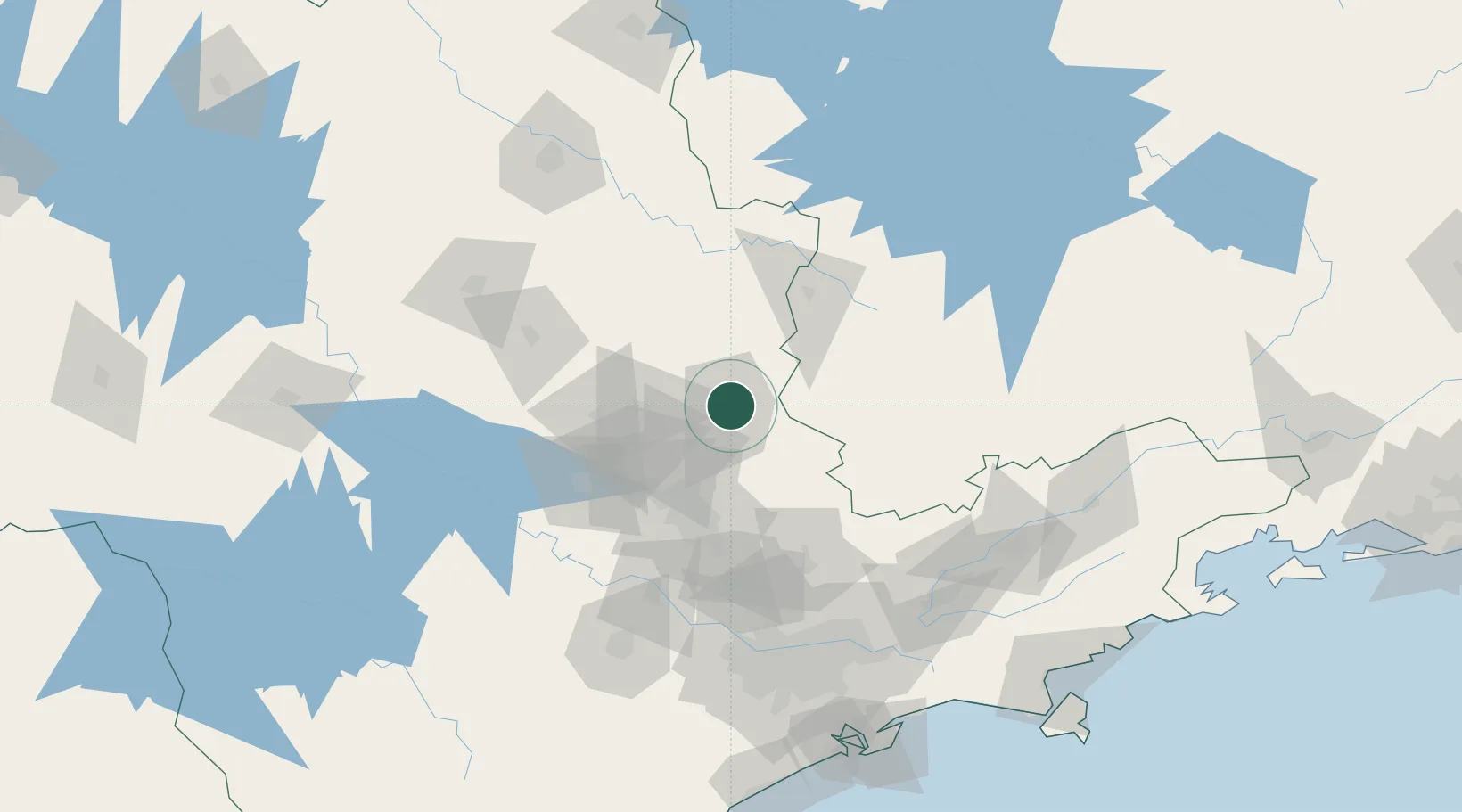
São Paulo
Population
153,658
Time zone
America/Sao_Paulo
Elevation
612 m
Location
Nearby Logistics Neighbours
Cities
- 1Paulínia50 km
- 2Sumaré61 km
- 3Campinas62 km
- 4Poços de Caldas74 km
- 5Itirapina92 km
Ports
- 1Santos189 km
- 2Sao Sebastiao225 km
- 3Angra Dos Reis279 km
- 4Paranagua386 km
- 5Rio De Janeiro391 km
Airports
Trade Zones
- 1ZPE de Uberaba (MG)315 km
- 2ZPE de Itaguaí (RJ)330 km
- 3ZPE de Fernandópolis (SP)414 km
- 4ZPE de Bataguassú (MS)569 km
- 5ZPE de Imbituba (SC)608 km
DatabookThe Record of Consolidated Knowledge
Brazil beyond logistics?