UN/LOCODE hub · Brazil
BRCSL
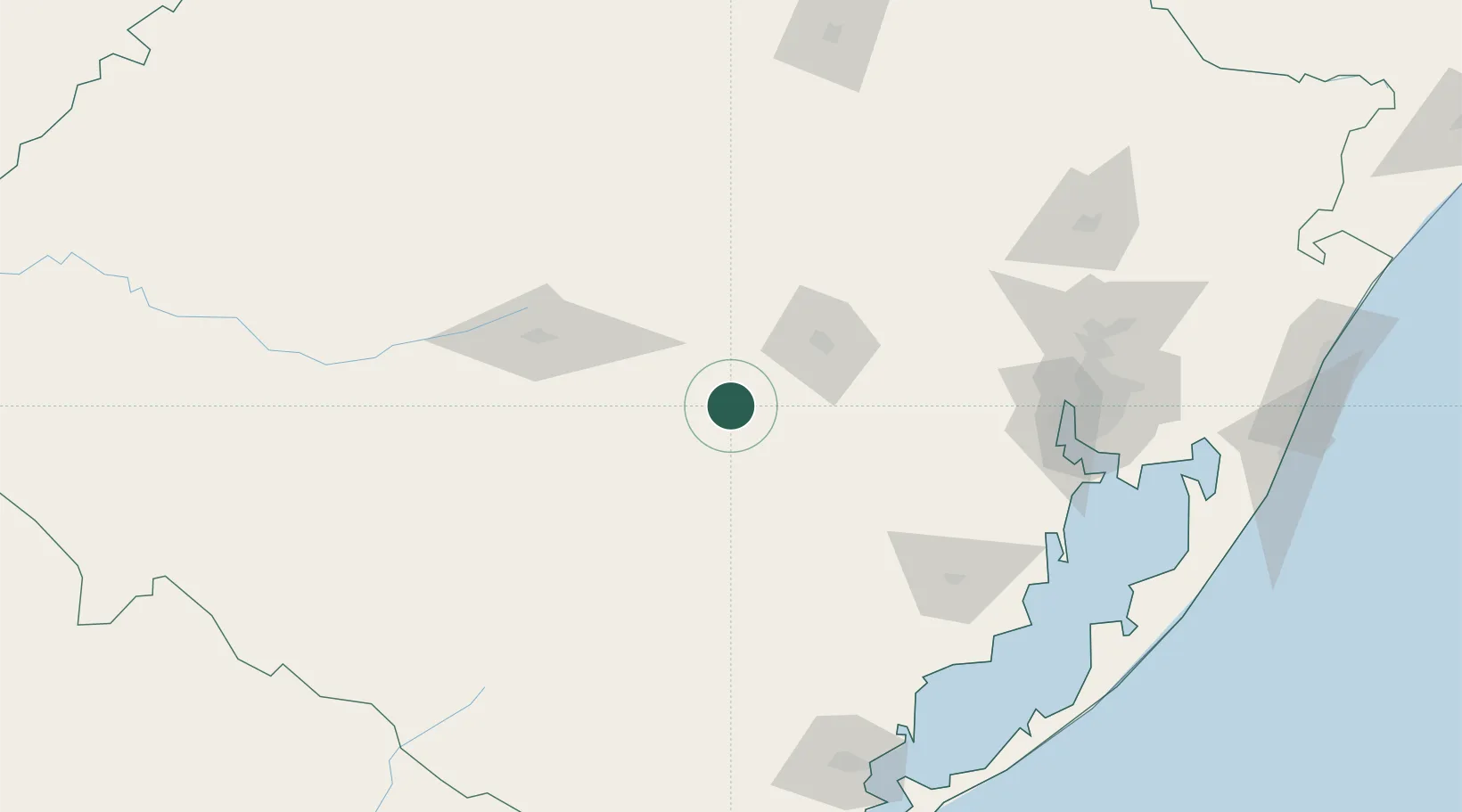
Cachoeira do Sul
-30.0333°, -52.8833°
80,070
Population
3
Transport functions
Transport Functions
Port
Road
Airport
Hub Profile
Place type
Populated place
Region
Rio Grande do Sul
Population
80,070
Time zone
America/Sao_Paulo
Elevation
77 m
Location
Nearby Logistics Neighbours
Cities
- 1Rio Pardo50 km
- 2Santa Maria97 km
- 3Taquari103 km
- 4Estrela107 km
- 5Triunfo115 km
Ports
- 1Porto Alegre159 km
- 2Pelotas202 km
- 3Rio Grande237 km
- 4Tramandai265 km
- 5Laguna433 km
Airports
Trade Zones
- 1ZPE de Rio Grande (RS)238 km
- 2Rivera Free Zone275 km
- 3ZPE de Imbituba (SC)500 km
- 4Zona Franca Puerto Iguazu Free Trade Zone520 km
- 5Zona Franca Internacional536 km
DatabookThe Record of Consolidated Knowledge
Brazil beyond logistics?