Transport Functions
Port
Road
Hub Profile
Place type
Populated place
Region
Rio Grande do Sul
Population
34,654
Time zone
America/Sao_Paulo
Elevation
36 m
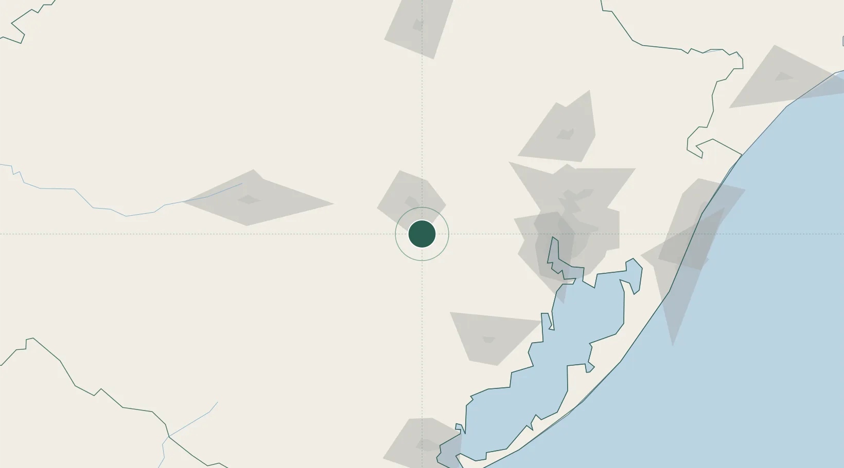
Location
Nearby Logistics Neighbours
Cities
- 1Cachoeira do Sul50 km
- 2Taquari54 km
- 3Triunfo65 km
- 4Estrela66 km
- 5Charqueadas72 km
Ports
- 1Porto Alegre109 km
- 2Pelotas200 km
- 3Tramandai215 km
- 4Rio Grande231 km
- 5Laguna385 km
Airports
- 1Porto Alegre-Salgado Filho International Airport116 km
- 2Canoas Air Force Base118 km
- 3Santa Maria Airport131 km
- 4Hugo Cantergiani Regional Airport144 km
- 5Canela Airport163 km
Trade Zones
- 1ZPE de Rio Grande (RS)235 km
- 2Rivera Free Zone324 km
- 3ZPE de Imbituba (SC)456 km
- 4Zona Franca Puerto Iguazu Free Trade Zone533 km
- 5Zona Franca Internacional550 km
DatabookThe Record of Consolidated Knowledge
Brazil beyond logistics?