UN/LOCODE hub · Brazil
BRSME

Sumaré

-22.8553°, -47.1701°
286,211
Population
2
Transport functions

Transport Functions

Rail
Road
UN/LOCODE

Hub Profile

Place type
Provincial seat
GeoNames
Region
São Paulo
GeoNames
Population
286,211
GeoNames
Time zone
America/Sao_Paulo
GeoNames
Elevation
573 m
GeoNames
Logistics facilities
3
UN/LOCODE

Location

Location of BRSME
Natural Earth 10m (public domain) · São Paulo · BRSME · -22.86, -47.17GoogleOSMYandex

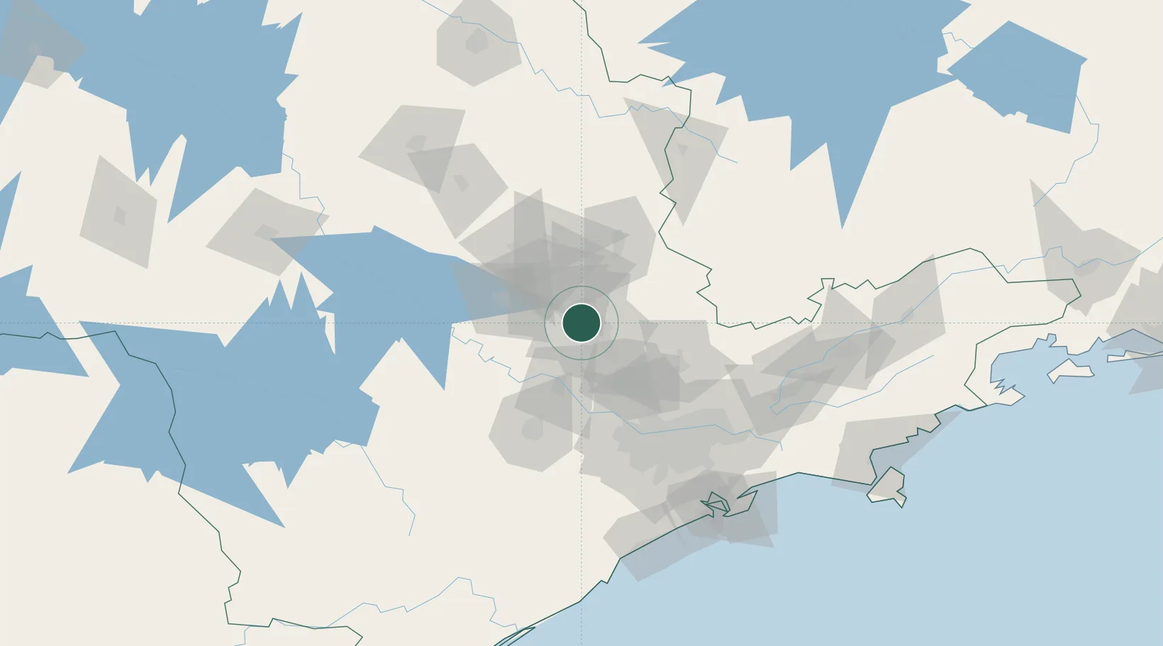
Nearby Logistics Neighbours

Cities
  1. 1Paulínia12 km
  2. 2Campinas13 km
  3. 3Jundiaí49 km
  4. 4Várzea Paulista53 km
  5. 5Mogi Guaçu61 km
Nearest neighbours — logibook spatial index (haversine) over the source coordinates
Ports
  1. 1Santos151 km
  2. 2Sao Sebastiao209 km
  3. 3Angra Dos Reis293 km
  4. 4Paranagua324 km
  5. 5Sao Francisco405 km
Nearest neighbours — logibook spatial index (haversine) over the source coordinates
Airports
  1. 1Viracopos International Airport17 km
  2. 2São Paulo Catarina Executive Airport64 km
  3. 3Sorocaba Airport77 km
  4. 4Campo de Marte Airport91 km
  5. 5Banespa República Heliport94 km
Nearest neighbours — logibook spatial index (haversine) over the source coordinates
Trade Zones
  1. 1ZPE de Itaguaí (RJ)348 km
  2. 2ZPE de Uberaba (MG)361 km
  3. 3ZPE de Fernandópolis (SP)429 km
  4. 4ZPE de Imbituba (SC)547 km
  5. 5ZPE de Bataguassú (MS)554 km
Nearest neighbours — logibook spatial index (haversine) over the source coordinates
DatabookThe Record of Consolidated Knowledge
Brazil beyond logistics?
Browse databook

All Sources

LocationsUN/LOCODE
UN/LOCODE — free
LocationsGeoNames
CC BY 4.0
Portsthe NGA World Port Index
Public domain (US gov)
AirportsOurAirports
Public domain
Trade Zonesthe World Bank SEZ database
CC BY 4.0
Trade ZonesOpen Zone Map
CC BY
← Brazil locations