Large airport · Brazil

Viracopos International AirportSBKP
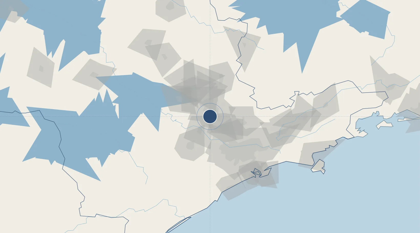
-23.0074°, -47.1345°
10,630 ft
Longest runway
1
Runways
2,170 ft
Elevation

Runway & Layout

Viracopos International Airport runway & taxiway layout
Runway & taxiway layout — OpenStreetMap (ODbL) / OurAirports

Radio Frequencies

TWR
118.25 MHz
CAMPINAS TWR
GND
121.9 MHz
APP
121.4 MHz
CAMPINAS APP
OurAirports

Navaids

CPN VOR-DME Campinas 112.00 MHz
KP NDB Grama 395 kHz
OurAirports

Runways · 1

RunwayDimensions SurfaceTrue headingLit
15/33 10,630 × 148ft Asphalt 128°
OurAirports

Airport Specifications

IATA code
VCP
OurAirports
ICAO code
SBKP
OurAirports
Airport class
Large airport
OurAirports
Scheduled service
Yes
OurAirports
Runway surface
Asphalt
OurAirports
Served city
Campinas
OurAirports

Location

Location of SBKP
Natural Earth 10m (public domain) · São Paulo · SBKP · -23.01, -47.13GoogleOSMYandex

Nearby Logistics Neighbours

Airports
  1. 1São Paulo Catarina Executive Airport47 km
  2. 2Sorocaba Airport64 km
  3. 3Campo de Marte Airport75 km
  4. 4Banespa República Heliport78 km
  5. 5São Paulo/Guarulhos–Governor André Franco Montoro International Airport83 km
Nearest neighbours — logibook spatial index (haversine) over the source coordinates
Cities
  1. 1Campinas15 km
  2. 2Sumaré17 km
  3. 3Paulínia29 km
  4. 4Jundiaí35 km
  5. 5Várzea Paulista39 km
Nearest neighbours — logibook spatial index (haversine) over the source coordinates
Ports
  1. 1Santos135 km
  2. 2Sao Sebastiao198 km
  3. 3Angra Dos Reis288 km
  4. 4Paranagua311 km
  5. 5Sao Francisco391 km
Nearest neighbours — logibook spatial index (haversine) over the source coordinates
Trade Zones
  1. 1ZPE de Itaguaí (RJ)344 km
  2. 2ZPE de Uberaba (MG)379 km
  3. 3ZPE de Fernandópolis (SP)443 km
  4. 4ZPE de Imbituba (SC)532 km
  5. 5ZPE de Bataguassú (MS)562 km
Nearest neighbours — logibook spatial index (haversine) over the source coordinates
DatabookThe Record of Consolidated Knowledge
Brazil beyond logistics?
Browse databook

All Sources

AirportsOurAirports
Public domain
Portsthe NGA World Port Index
Public domain (US gov)
LocationsUN/LOCODE
UN/LOCODE — free
Trade Zonesthe World Bank SEZ database
CC BY 4.0
Trade ZonesOpen Zone Map
CC BY
InfrastructureOpenStreetMap
ODbL 1.0
← Brazil airports