Transport Functions
Rail
Road
Multimodal
Hub Profile
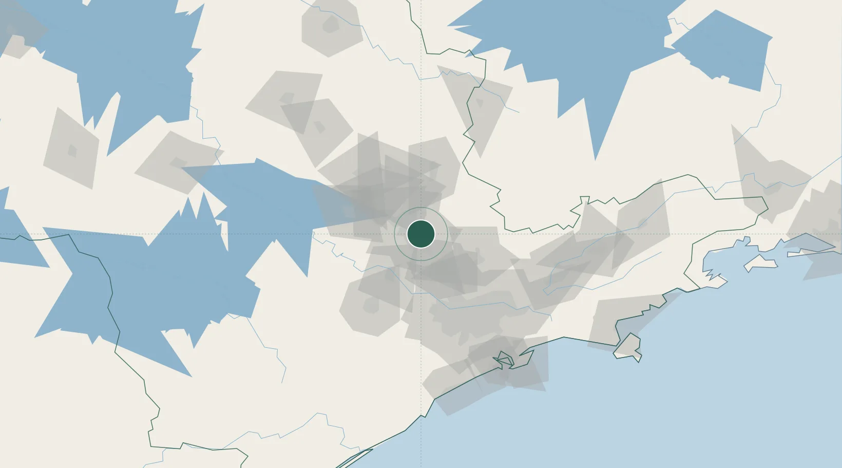
Place type
Populated place
Region
São Paulo
Population
1,031,554
Time zone
America/Sao_Paulo
Elevation
686 m
Location
Nearby Logistics Neighbours
Cities
- 1Sumaré13 km
- 2Paulínia20 km
- 3Jundiaí38 km
- 4Várzea Paulista41 km
- 5Mogi Guaçu62 km
Ports
- 1Santos140 km
- 2Sao Sebastiao196 km
- 3Angra Dos Reis280 km
- 4Paranagua325 km
- 5Rio De Janeiro398 km
Airports
Trade Zones
- 1ZPE de Itaguaí (RJ)335 km
- 2ZPE de Uberaba (MG)369 km
- 3ZPE de Fernandópolis (SP)441 km
- 4ZPE de Imbituba (SC)545 km
- 5ZPE de Bataguassú (MS)568 km
DatabookThe Record of Consolidated Knowledge
Brazil beyond logistics?