Medium airport · Brazil

São Paulo Catarina Executive AirportSBJH
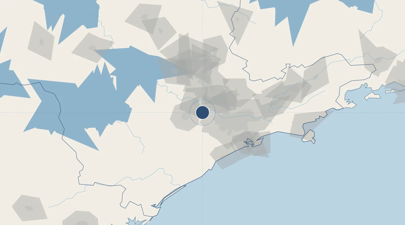
-23.4269°, -47.1657°
8,104 ft
Longest runway
1
Runways
2,547 ft
Elevation

Runway & Layout

São Paulo Catarina Executive Airport runway & taxiway layout
Runway & taxiway layout — OpenStreetMap (ODbL) / OurAirports

Radio Frequencies

AFIS
131.8 MHz
Radio Catarina
OurAirports

Runways · 1

RunwayDimensions SurfaceTrue headingLit
12/30 8,104 × 108ft Asphalt 094°
OurAirports

Airport Specifications

IATA code
JHF
OurAirports
ICAO code
SBJH
OurAirports
Airport class
Medium airport
OurAirports
Scheduled service
No
OurAirports
Runway surface
Asphalt
OurAirports
Served city
São Roque
OurAirports

Location

Location of SBJH
Natural Earth 10m (public domain) · São Paulo · SBJH · -23.43, -47.17GoogleOSMYandex

Nearby Logistics Neighbours

Airports
  1. 1Sorocaba Airport34 km
  2. 2Viracopos International Airport47 km
  3. 3Campo de Marte Airport55 km
  4. 4Banespa República Heliport55 km
  5. 5Congonhas–Deputado Freitas Nobre Airport57 km
Nearest neighbours — logibook spatial index (haversine) over the source coordinates
Cities
  1. 1Sorocaba30 km
  2. 2Barueri32 km
  3. 3Jundiaí40 km
  4. 4Várzea Paulista44 km
  5. 5Campinas60 km
Nearest neighbours — logibook spatial index (haversine) over the source coordinates
Ports
  1. 1Santos106 km
  2. 2Sao Sebastiao185 km
  3. 3Paranagua268 km
  4. 4Angra Dos Reis295 km
  5. 5Sao Francisco347 km
Nearest neighbours — logibook spatial index (haversine) over the source coordinates
Trade Zones
  1. 1ZPE de Itaguaí (RJ)351 km
  2. 2ZPE de Uberaba (MG)423 km
  3. 3ZPE de Fernandópolis (SP)473 km
  4. 4ZPE de Imbituba (SC)486 km
  5. 5ZPE de Bataguassú (MS)572 km
Nearest neighbours — logibook spatial index (haversine) over the source coordinates
DatabookThe Record of Consolidated Knowledge
Brazil beyond logistics?
Browse databook

All Sources

AirportsOurAirports
Public domain
Portsthe NGA World Port Index
Public domain (US gov)
LocationsUN/LOCODE
UN/LOCODE — free
Trade Zonesthe World Bank SEZ database
CC BY 4.0
Trade ZonesOpen Zone Map
CC BY
InfrastructureOpenStreetMap
ODbL 1.0
← Brazil airports