Transport Functions
Rail
Road
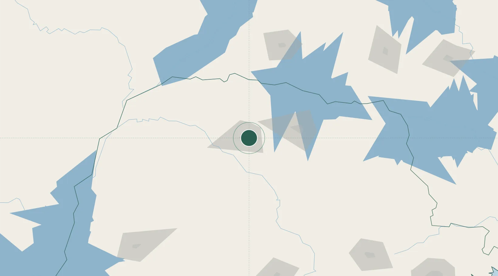
Hub Profile
Place type
Populated place
Region
Paraná
Population
118,455
Time zone
America/Sao_Paulo
Elevation
586 m
Location
Nearby Logistics Neighbours
Cities
- 1Maringá7 km
- 2Cambé59 km
- 3Londrina75 km
- 4Ortigueira129 km
- 5Presidente Epitácio187 km
Ports
- 1Paranagua410 km
- 2Sao Francisco452 km
- 3Itajai506 km
- 4Santos570 km
- 5Imbituba622 km
Airports
Trade Zones
- 1ZPE de Bataguassú (MS)202 km
- 2Zona Franca Puerto Iguazu Free Trade Zone364 km
- 3Zona Franca Internacional367 km
- 4Zona Franca Global368 km
- 5ZPE de Fernandópolis (SP)385 km
DatabookThe Record of Consolidated Knowledge
Brazil beyond logistics?