Transport Functions
Rail
Road
Hub Profile
Place type
Populated place
Region
Paraná
Population
24,192
Time zone
America/Sao_Paulo
Elevation
772 m
Logistics facilities
1
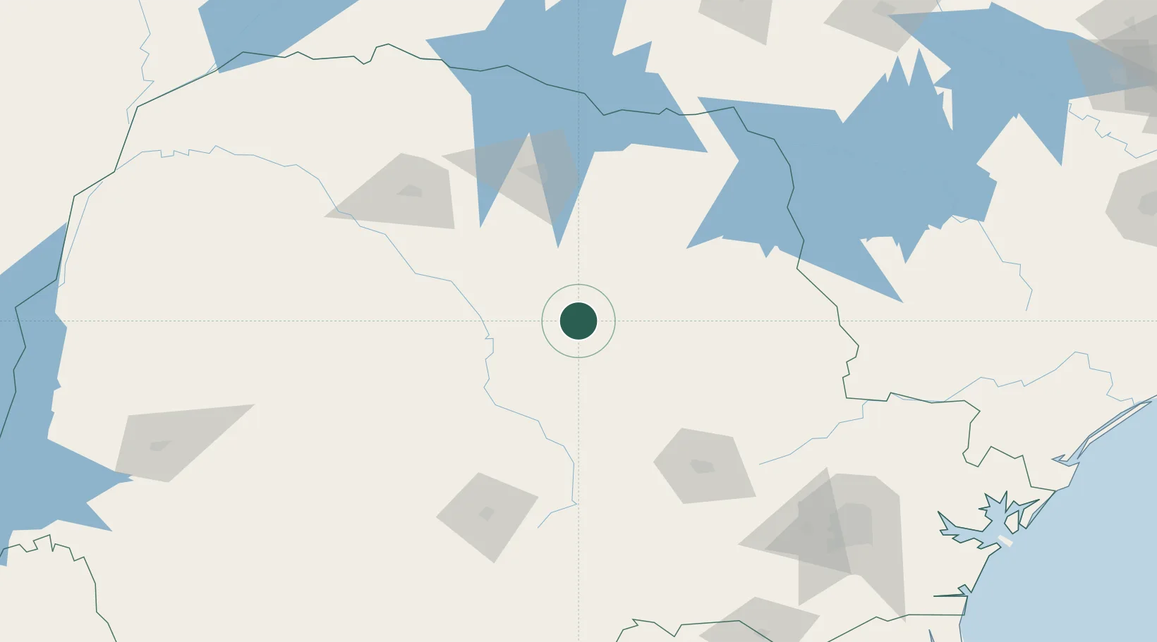
Location
Nearby Logistics Neighbours
Cities
- 1Londrina103 km
- 2Cambé109 km
- 3Ponta Grossa125 km
- 4Sarandi129 km
- 5Maringá135 km
Ports
- 1Paranagua282 km
- 2Sao Francisco324 km
- 3Itajai379 km
- 4Santos470 km
- 5Imbituba502 km
Airports
Trade Zones
- 1ZPE de Bataguassú (MS)318 km
- 2Zona Franca Puerto Iguazu Free Trade Zone399 km
- 3Zona Franca Internacional408 km
- 4Zona Franca Global409 km
- 5ZPE de Fernandópolis (SP)438 km
DatabookThe Record of Consolidated Knowledge
Brazil beyond logistics?