Medium airport · Brazil

Governor José Richa AirportSBLO
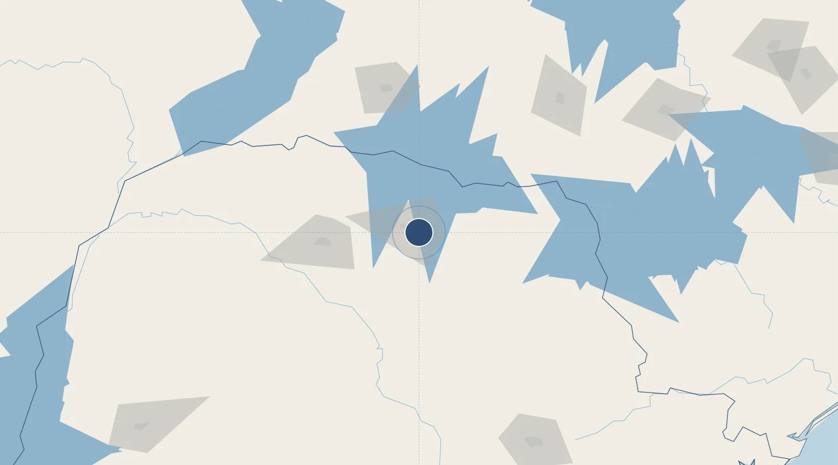
-23.3344°, -51.1284°
6,890 ft
Longest runway
1
Runways
1,867 ft
Elevation

Runway & Layout

Governor José Richa Airport runway & taxiway layout
Runway & taxiway layout — OpenStreetMap (ODbL) / OurAirports

Radio Frequencies

ATIS
127.675 MHz
TWR
118.4 MHz
APP
129.7 MHz
OurAirports

Navaids

LON VOR-DME Londrina 112.40 MHz
LON NDB Londrina 365 kHz
PP NDB Guaruja 305 kHz
OurAirports

Runways · 1

RunwayDimensions SurfaceTrue headingLit
13/31 6,890 × 148ft Asphalt 112°
OurAirports

Airport Specifications

IATA code
LDB
OurAirports
ICAO code
SBLO
OurAirports
Airport class
Medium airport
OurAirports
Scheduled service
Yes
OurAirports
Runway surface
Asphalt
OurAirports
Served city
Londrina
OurAirports

Location

Location of SBLO
Natural Earth 10m (public domain) · Paraná · SBLO · -23.33, -51.13GoogleOSMYandex

Nearby Logistics Neighbours

Airports
  1. 1Regional de Maringá - Sílvio Name Júnior Airport92 km
  2. 2Telêmaco Borba Airport120 km
  3. 3Presidente Prudente Airport132 km
  4. 4Frank Miloye Milenkowichi–Marília State Airport177 km
  5. 5Orlando de Carvalho Airport229 km
Nearest neighbours — logibook spatial index (haversine) over the source coordinates
Cities
  1. 1Londrina4 km
  2. 2Cambé19 km
  3. 3Sarandi76 km
  4. 4Maringá83 km
  5. 5Ortigueira99 km
Nearest neighbours — logibook spatial index (haversine) over the source coordinates
Ports
  1. 1Paranagua358 km
  2. 2Sao Francisco411 km
  3. 3Itajai471 km
  4. 4Santos497 km
  5. 5Sao Sebastiao586 km
Nearest neighbours — logibook spatial index (haversine) over the source coordinates
Trade Zones
  1. 1ZPE de Bataguassú (MS)225 km
  2. 2ZPE de Fernandópolis (SP)349 km
  3. 3Zona Franca Puerto Iguazu Free Trade Zone429 km
  4. 4Zona Franca Internacional434 km
  5. 5Zona Franca Global435 km
Nearest neighbours — logibook spatial index (haversine) over the source coordinates
DatabookThe Record of Consolidated Knowledge
Brazil beyond logistics?
Browse databook

All Sources

AirportsOurAirports
Public domain
Portsthe NGA World Port Index
Public domain (US gov)
LocationsUN/LOCODE
UN/LOCODE — free
Trade Zonesthe World Bank SEZ database
CC BY 4.0
Trade ZonesOpen Zone Map
CC BY
InfrastructureOpenStreetMap
ODbL 1.0
← Brazil airports