Transport Functions
Rail
Road
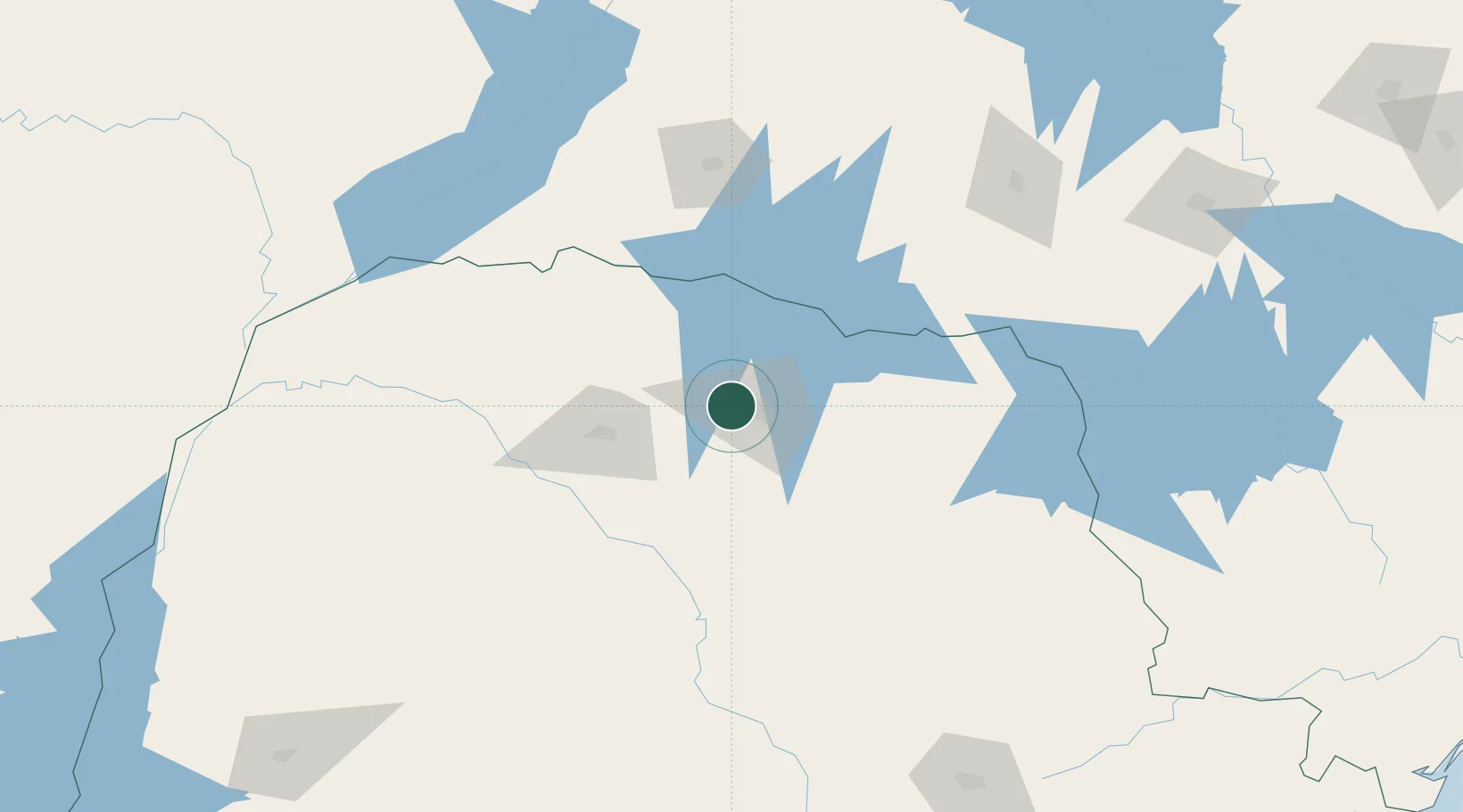
Hub Profile
Place type
Populated place
Region
Paraná
Population
107,208
Time zone
America/Sao_Paulo
Elevation
668 m
Logistics facilities
2
Location
Nearby Logistics Neighbours
Cities
- 1Londrina17 km
- 2Sarandi59 km
- 3Maringá65 km
- 4Ortigueira109 km
- 5Ourinhos152 km
Ports
- 1Paranagua375 km
- 2Sao Francisco426 km
- 3Itajai486 km
- 4Santos516 km
- 5Sao Sebastiao605 km
Airports
Trade Zones
- 1ZPE de Bataguassú (MS)210 km
- 2ZPE de Fernandópolis (SP)348 km
- 3Zona Franca Puerto Iguazu Free Trade Zone418 km
- 4Zona Franca Internacional422 km
- 5Zona Franca Global423 km
DatabookThe Record of Consolidated Knowledge
Brazil beyond logistics?