Medium airport · Brazil

Telêmaco Borba AirportSBTL

-24.3178°, -50.6516°
5,906 ft
Longest runway
1
Runways
2,610 ft
Elevation

Runway & Layout

Telêmaco Borba Airport runway & taxiway layout
Runway & taxiway layout — OpenStreetMap (ODbL) / OurAirports

Radio Frequencies

AFIS
131.6 MHz
RDO
OurAirports

Runways · 1

RunwayDimensions SurfaceTrue headingLit
2/20 5,906 × 98ft Asphalt
OurAirports

Airport Specifications

IATA code
TEC
OurAirports
ICAO code
SSVL
OurAirports
Airport class
Medium airport
OurAirports
Scheduled service
No
OurAirports
Runway surface
Asphalt
OurAirports
Served city
Telêmaco Borba
OurAirports

Location

Location of SBTL
Natural Earth 10m (public domain) · Paraná · SBTL · -24.32, -50.65GoogleOSMYandex

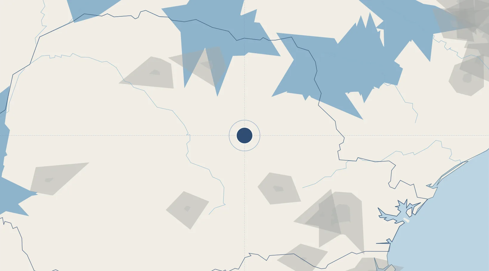
Nearby Logistics Neighbours

Airports
  1. 1Ponta Grossa Airport - Comandante Antonio Amilton Beraldo109 km
  2. 2Governor José Richa Airport120 km
  3. 3Tancredo Thomas de Faria Airport148 km
  4. 4Regional de Maringá - Sílvio Name Júnior Airport167 km
  5. 5Sikorski Heliport174 km
Nearest neighbours — logibook spatial index (haversine) over the source coordinates
Cities
  1. 1Ortigueira30 km
  2. 2Ponta Grossa99 km
  3. 3Londrina124 km
  4. 4Cambé133 km
  5. 5Guarapuava143 km
Nearest neighbours — logibook spatial index (haversine) over the source coordinates
Ports
  1. 1Paranagua252 km
  2. 2Sao Francisco296 km
  3. 3Itajai353 km
  4. 4Santos444 km
  5. 5Imbituba478 km
Nearest neighbours — logibook spatial index (haversine) over the source coordinates
Trade Zones
  1. 1ZPE de Bataguassú (MS)343 km
  2. 2Zona Franca Puerto Iguazu Free Trade Zone419 km
  3. 3ZPE de Imbituba (SC)422 km
  4. 4Zona Franca Internacional429 km
  5. 5Zona Franca Global430 km
Nearest neighbours — logibook spatial index (haversine) over the source coordinates
DatabookThe Record of Consolidated Knowledge
Brazil beyond logistics?
Browse databook

All Sources

AirportsOurAirports
Public domain
Portsthe NGA World Port Index
Public domain (US gov)
LocationsUN/LOCODE
UN/LOCODE — free
Trade Zonesthe World Bank SEZ database
CC BY 4.0
Trade ZonesOpen Zone Map
CC BY
InfrastructureOpenStreetMap
ODbL 1.0
← Brazil airports