Small airport · Brazil
Orlando de Carvalho AirportSSUM
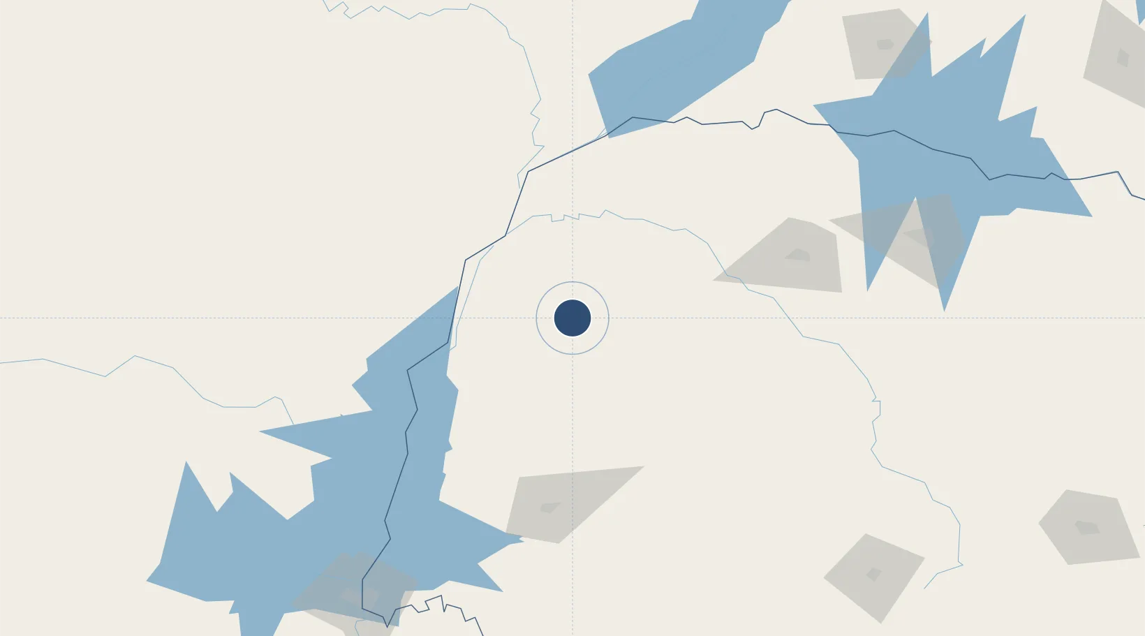
-23.7987°, -53.3138°
4,692 ft
Longest runway
1
Runways
1,552 ft
Elevation
Runway & Layout

Runways · 1
| Runway | Dimensions | Surface | True heading | Lit |
|---|---|---|---|---|
| 04/22 | 4,692 × 98ft | Asphalt | — | ✓ |
Airport Specifications
IATA code
UMU
ICAO code
SSUM
Airport class
Small airport
Scheduled service
Yes
Runway surface
Asphalt
Served city
Umuarama
Location
Nearby Logistics Neighbours
Airports
Cities
- 1Terra Roxa88 km
- 2Mundo Novo98 km
- 3Guaíra99 km
- 4Pato Bragado129 km
- 5Cascavel133 km
Ports
- 1Puerto De Asuncion471 km
- 2Paranagua520 km
- 3Sao Francisco545 km
- 4Itajai584 km
- 5Imbituba677 km
Trade Zones
- 1Zona Franca Internacional235 km
- 2Zona Franca Global236 km
- 3Zona Franca Puerto Iguazu Free Trade Zone237 km
- 4ZPE de Bataguassú (MS)252 km
- 5ZPE de Fernandópolis (SP)499 km
DatabookThe Record of Consolidated Knowledge
Brazil beyond logistics?