UN/LOCODE hub · Brazil
BRJCS
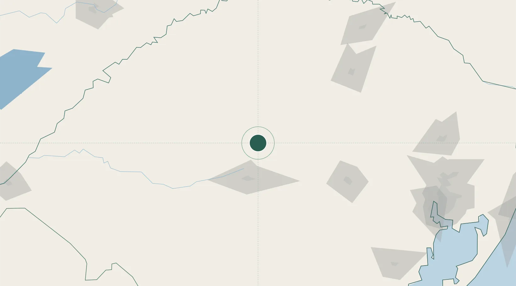
Júlio de Castilhos
-29.2167°, -53.6667°
18,226
Population
2
Transport functions
Transport Functions
Rail
Road
Hub Profile
Place type
Populated place
Region
Rio Grande do Sul
Population
18,226
Time zone
America/Sao_Paulo
Elevation
529 m
Location
Nearby Logistics Neighbours
Cities
- 1Tupanciretã23 km
- 2Santa Maria54 km
- 3Cruz Alta65 km
- 4Ijuí96 km
- 5Santo Ângelo117 km
Ports
- 1Porto Alegre252 km
- 2Pelotas313 km
- 3Rio Grande350 km
- 4Tramandai352 km
- 5Laguna482 km
Airports
- 1Santa Maria Airport55 km
- 2Santo Ângelo Airport115 km
- 3Luis Alberto Lehr Airport168 km
- 4Lauro Kurtz Airport170 km
- 5Aeroestación Yabotí231 km
Trade Zones
- 1Rivera Free Zone264 km
- 2ZPE de Rio Grande (RS)350 km
- 3Zona Franca Puerto Iguazu Free Trade Zone412 km
- 4Zona Franca Internacional427 km
- 5Zona Franca Global427 km
DatabookThe Record of Consolidated Knowledge
Brazil beyond logistics?