UN/LOCODE hub · Brazil
BRRIA

Santa Maria

-29.6833°, -53.8000°
283,677
Population
3
Transport functions

Transport Functions

Rail
Road
Airport
UN/LOCODE

Hub Profile

Place type
Provincial seat
GeoNames
Region
Rio Grande do Sul
GeoNames
Population
283,677
GeoNames
Time zone
America/Sao_Paulo
GeoNames
Elevation
146 m
GeoNames

Location

Location of BRRIA
Natural Earth 10m (public domain) · Rio Grande do Sul · BRRIA · -29.68, -53.80GoogleOSMYandex

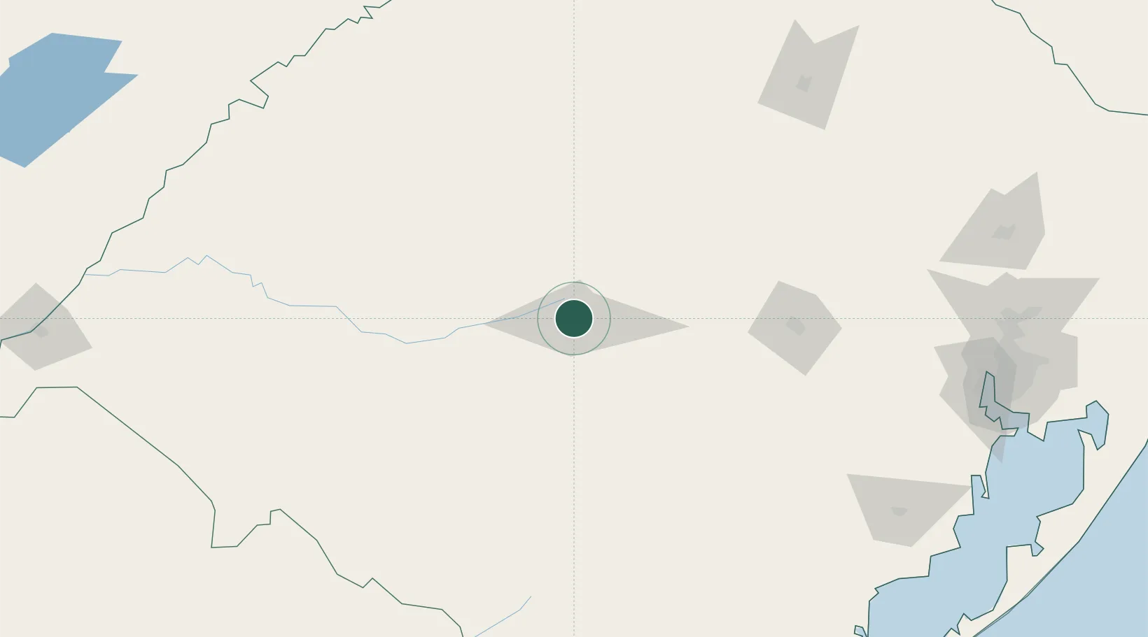
Nearby Logistics Neighbours

Cities
  1. 1Júlio de Castilhos54 km
  2. 2Tupanciretã69 km
  3. 3Cachoeira do Sul97 km
  4. 4Cacequi100 km
  5. 5Cruz Alta118 km
Nearest neighbours — logibook spatial index (haversine) over the source coordinates
Ports
  1. 1Porto Alegre251 km
  2. 2Pelotas272 km
  3. 3Rio Grande310 km
  4. 4Tramandai355 km
  5. 5Concordia448 km
Nearest neighbours — logibook spatial index (haversine) over the source coordinates
Airports
  1. 1Santa Maria Airport11 km
  2. 2Santo Ângelo Airport160 km
  3. 3Comandante Gustavo Kraemer Airport192 km
  4. 4Luis Alberto Lehr Airport210 km
  5. 5Lauro Kurtz Airport215 km
Nearest neighbours — logibook spatial index (haversine) over the source coordinates
Trade Zones
  1. 1Rivera Free Zone219 km
  2. 2ZPE de Rio Grande (RS)309 km
  3. 3Zona Franca Puerto Iguazu Free Trade Zone460 km
  4. 4Zona Franca Internacional474 km
  5. 5Zona Franca Global474 km
Nearest neighbours — logibook spatial index (haversine) over the source coordinates
DatabookThe Record of Consolidated Knowledge
Brazil beyond logistics?
Browse databook

All Sources

LocationsUN/LOCODE
UN/LOCODE — free
LocationsGeoNames
CC BY 4.0
Portsthe NGA World Port Index
Public domain (US gov)
AirportsOurAirports
Public domain
Trade Zonesthe World Bank SEZ database
CC BY 4.0
Trade ZonesOpen Zone Map
CC BY
← Brazil locations