Channel & Berth Profile
Pilotage, Tugs & Services
Pilotage compulsoryYES
Pilotage availableYES
Pilotage advisableYES
Potable waterYES
MedicalYES
Facilities & Capabilities
Container—
Ro-Ro—
Liquid bulk—
Dry bulk—
Oil terminal—
Break bulk—
Dry dock—
RepairsNO
Bunkering—
Rail linkYES
Dangerous cargo—
ISPS security—
Harbour Specifications
Harbour size
Very Small
Harbour type
River (Natural)
Shelter
Fair
Water body
South Atlantic Ocean
Tidal range
1 m
Pilotage
Yes
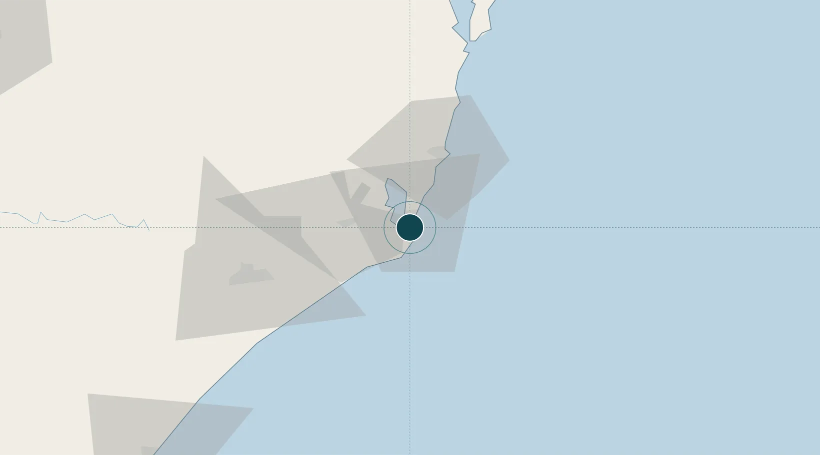
Location
Nearby Logistics Neighbours
Ports
- 1Imbituba32 km
- 2Itajai177 km
- 3Tramandai211 km
- 4Sao Francisco251 km
- 5Porto Alegre293 km
Cities
- 1Capivari de Baixo18 km
- 2Imbituba33 km
- 3Sangão37 km
- 4Urussanga52 km
- 5Criciúma58 km
Airports
Trade Zones
- 1ZPE de Imbituba (SC)101 km
- 2ZPE de Rio Grande (RS)515 km
- 3Zona Franca Puerto Iguazu Free Trade Zone657 km
- 4Zona Franca Internacional675 km
- 5Zona Franca Global676 km
DatabookThe Record of Consolidated Knowledge
Brazil beyond logistics?