Small airport · Uruguay
El Jagüel / Punta del Este AirportSUPE
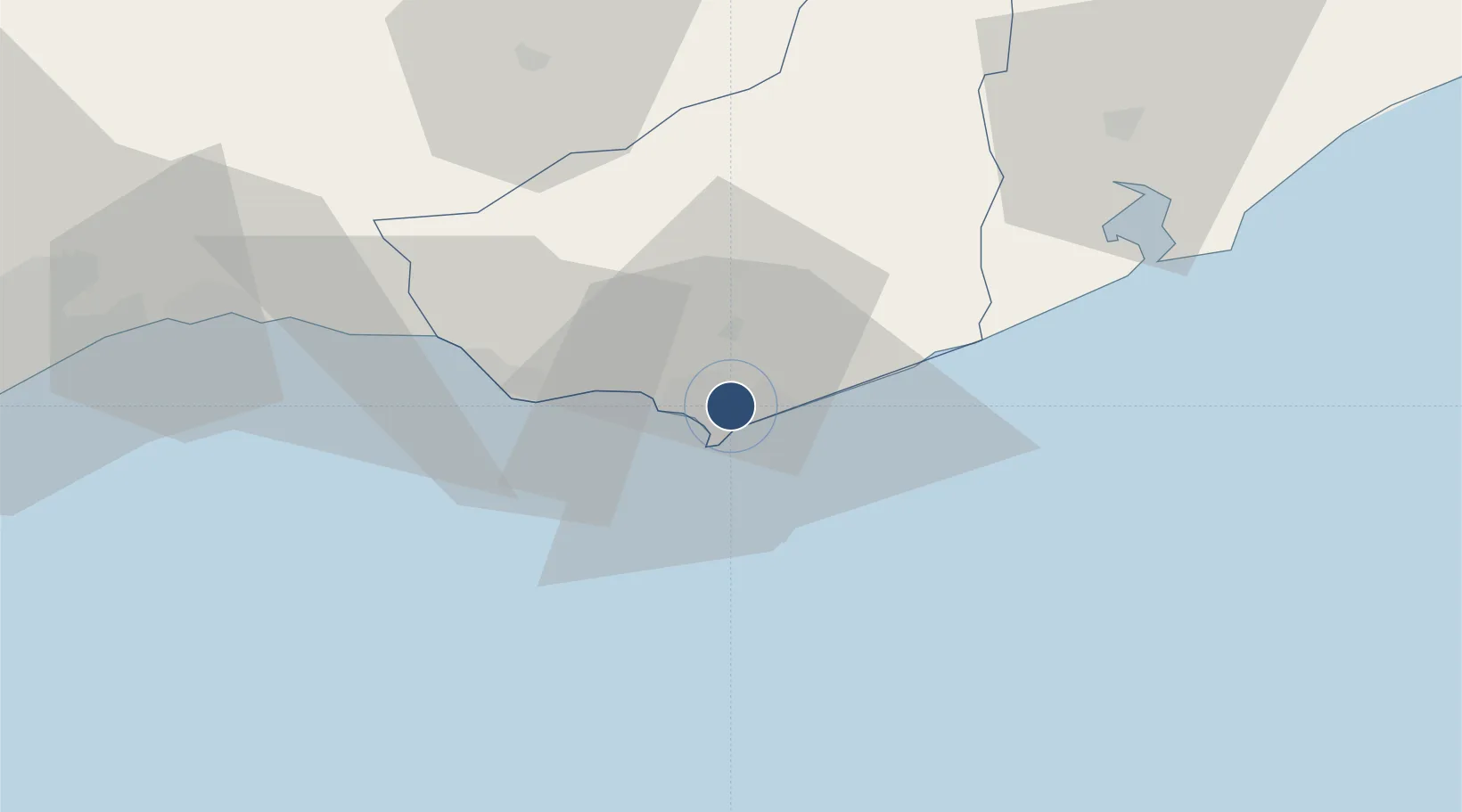
-34.9097°, -54.9202°
1,870 ft
Longest runway
1
Runways
66 ft
Elevation
Runway & Layout

Radio Frequencies
AD
118.7 MHz
Non controlled airport. This frecuency is for local traffic.
Runways · 1
| Runway | Dimensions | Surface | True heading | Lit |
|---|---|---|---|---|
| 02/20 | 1,870 × 65ft | concrete | 017° | — |
Airport Specifications
ICAO code
SUPE
Airport class
Small airport
Scheduled service
Yes
Runway surface
concrete
Served city
Maldonado
Location
Nearby Logistics Neighbours
Airports
Cities
- 1Piriápolis32 km
- 2Montevideo120 km
- 3Joanico127 km
- 4Chuí192 km
- 5Cabo San Antonio195 km
Ports
- 1Jose Ignacio21 km
- 2La Paloma76 km
- 3Montevideo118 km
- 4Puerto Sauce237 km
- 5La Plata270 km
Trade Zones
- 1Parque Las Ciencias Free Zone99 km
- 2Parque de las Ciencias Free Zone100 km
- 3Zonamerica Free Zone106 km
- 4World Trade Center Free Zone111 km
- 5Aguada Park Free Zone116 km
DatabookThe Record of Consolidated Knowledge
Uruguay beyond logistics?