Transport Functions
Rail
Road
Airport
Multimodal
Hub Profile
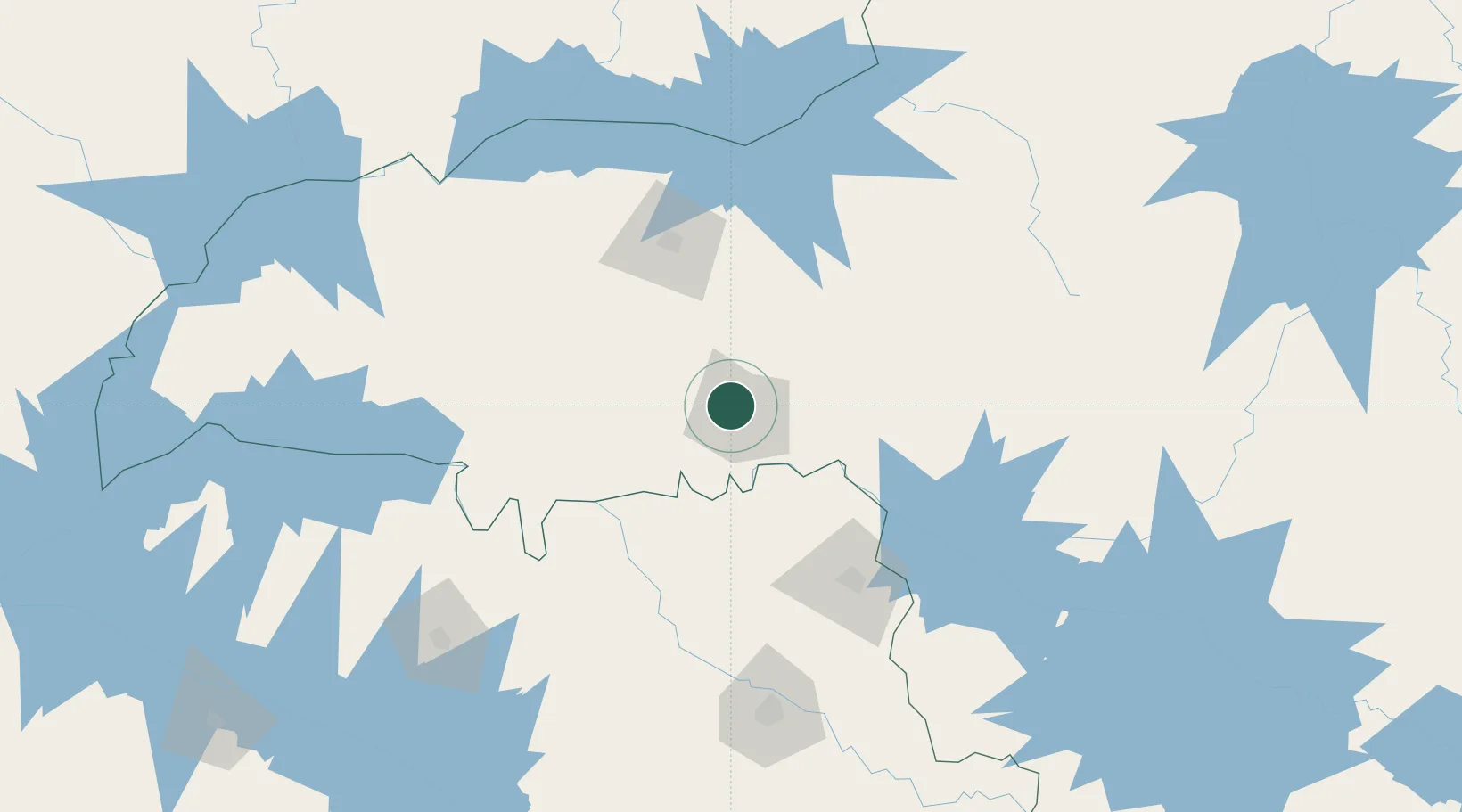
Place type
Populated place
Region
Minas Gerais
Population
337,836
Time zone
America/Sao_Paulo
Elevation
772 m
Location
Nearby Logistics Neighbours
Cities
- 1Ituverava74 km
- 2Guará82 km
- 3Uberlândia96 km
- 4São Joaquim da Barra97 km
- 5Araxá111 km
Ports
- 1Santos504 km
- 2Sao Sebastiao528 km
- 3Angra Dos Reis529 km
- 4Rio De Janeiro613 km
- 5Niteroi616 km
Airports
Trade Zones
- 1ZPE de Uberaba (MG)0 km
- 2ZPE de Fernandópolis (SP)249 km
- 3ZPE de Bataguassú (MS)511 km
- 4ZPE de Itaguaí (RJ)563 km
- 5ZPE de Teófilo Otoni (MG)714 km
DatabookThe Record of Consolidated Knowledge
Brazil beyond logistics?