Medium airport · Brazil
Ten. Cel. Aviador César Bombonato AirportSBUL
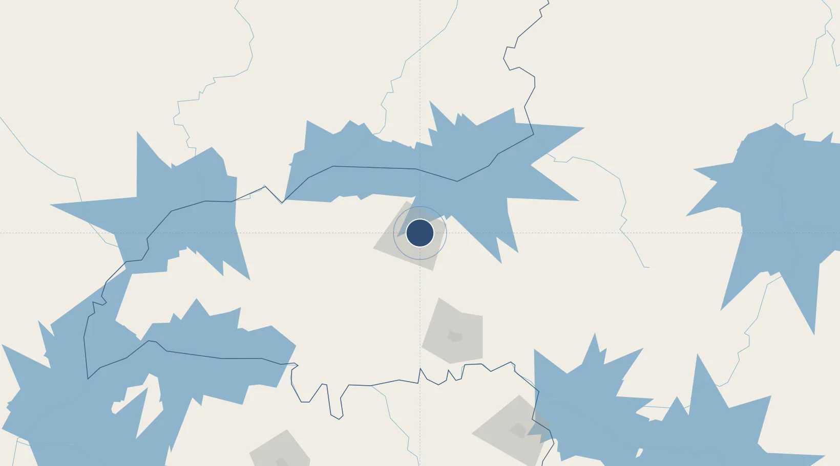
-18.8836°, -48.2259°
6,398 ft
Longest runway
1
Runways
3,094 ft
Elevation
Runway & Layout

Radio Frequencies
TWR
118.8 MHz
APP
120.8 MHz
RDO
118.8 MHz
Navaids
ULD VOR-DME Uberlandia 116.10 MHz
ULD NDB Uberlandia 350 kHz
Runways · 1
| Runway | Dimensions | Surface | True heading | Lit |
|---|---|---|---|---|
| 4/22 | 6,398 × 148ft | Asphalt | — | — |
Airport Specifications
IATA code
UDI
ICAO code
SBUL
Airport class
Medium airport
Scheduled service
Yes
Runway surface
Asphalt
Served city
Uberlândia
Location
Nearby Logistics Neighbours
Airports
- 1Mário de Almeida Franco Airport102 km
- 2Nelson Ribeiro Guimarães Airport135 km
- 3Romeu Zema Airport153 km
- 4Chafei Amsei Airport193 km
- 5Pedro Rabelo de Souza Airport231 km
Cities
- 1Uberlândia4 km
- 2Araguari28 km
- 3Catalão86 km
- 4Uberaba94 km
- 5Ipameri130 km
Ports
- 1Santos598 km
- 2Angra Dos Reis613 km
- 3Sao Sebastiao620 km
- 4Rio De Janeiro690 km
- 5Niteroi692 km
Trade Zones
- 1ZPE de Uberaba (MG)94 km
- 2ZPE de Fernandópolis (SP)267 km
- 3ZPE de Bataguassú (MS)537 km
- 4ZPE de Itaguaí (RJ)643 km
- 5ZPE de Teófilo Otoni (MG)720 km
DatabookThe Record of Consolidated Knowledge
Brazil beyond logistics?