Transport Functions
Rail
Road
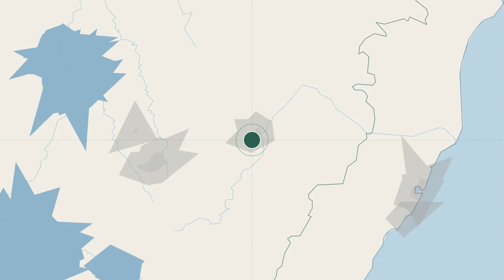
Hub Profile
Place type
Populated place
Region
Minas Gerais
Population
81,579
Time zone
America/Sao_Paulo
Elevation
356 m
Location
Nearby Logistics Neighbours
Cities
- 1Ipatinga18 km
- 2Belo Oriente44 km
- 3Nova Era46 km
- 4Bela Vista de Minas54 km
- 5João Monlevade61 km
Ports
- 1Vitoria254 km
- 2Tubarao261 km
- 3Macae322 km
- 4Niteroi370 km
- 5Rio De Janeiro373 km
Airports
Trade Zones
- 1ZPE de Teófilo Otoni (MG)226 km
- 2ZPE de Aracruz (ES)272 km
- 3ZPE do Açú (RJ)300 km
- 4ZPE de Itaguaí (RJ)388 km
- 5ZPE de Uberaba (MG)560 km
DatabookThe Record of Consolidated Knowledge
Brazil beyond logistics?