Transport Functions
Rail
Road
Hub Profile
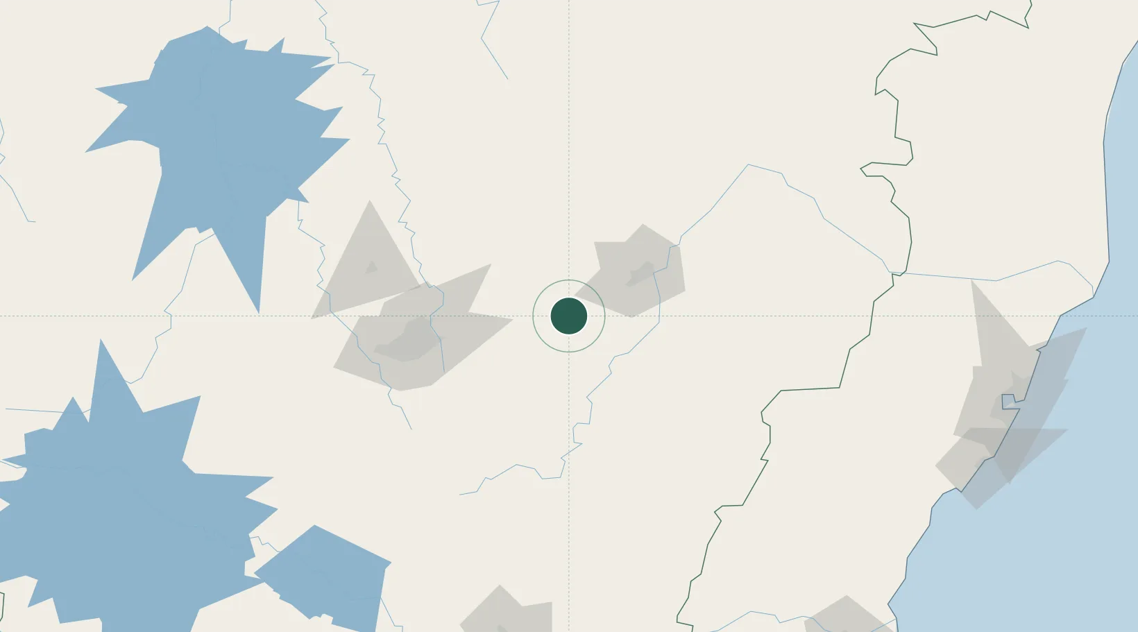
Place type
Populated place
Region
Minas Gerais
Population
17,438
Time zone
America/Sao_Paulo
Elevation
632 m
Location
Nearby Logistics Neighbours
Cities
- 1Bela Vista de Minas9 km
- 2João Monlevade15 km
- 3Itabira23 km
- 4Rio Piracicaba26 km
- 5São Gonçalo do Rio Abaixo32 km
Ports
- 1Vitoria289 km
- 2Tubarao297 km
- 3Macae319 km
- 4Niteroi349 km
- 5Rio De Janeiro351 km
Airports
Trade Zones
- 1ZPE de Teófilo Otoni (MG)265 km
- 2ZPE do Açú (RJ)311 km
- 3ZPE de Aracruz (ES)313 km
- 4ZPE de Itaguaí (RJ)359 km
- 5ZPE de Uberaba (MG)518 km
DatabookThe Record of Consolidated Knowledge
Brazil beyond logistics?