Transport Functions
Rail
Road
Hub Profile
Place type
Populated place
Region
Minas Gerais
Population
228,746
Time zone
America/Sao_Paulo
Elevation
229 m
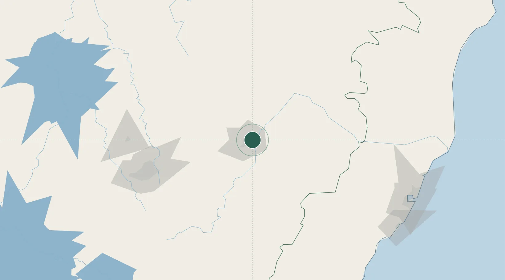
Location
Nearby Logistics Neighbours
Cities
- 1Timóteo18 km
- 2Belo Oriente28 km
- 3Nova Era63 km
- 4Bela Vista de Minas71 km
- 5Itabira76 km
Ports
- 1Vitoria247 km
- 2Tubarao254 km
- 3Macae332 km
- 4Niteroi385 km
- 5Rio De Janeiro388 km
Airports
Trade Zones
- 1ZPE de Teófilo Otoni (MG)209 km
- 2ZPE de Aracruz (ES)261 km
- 3ZPE do Açú (RJ)305 km
- 4ZPE de Itaguaí (RJ)404 km
- 5ZPE de Uberaba (MG)573 km
DatabookThe Record of Consolidated Knowledge
Brazil beyond logistics?