Transport Functions
Rail
Road
Airport
Hub Profile
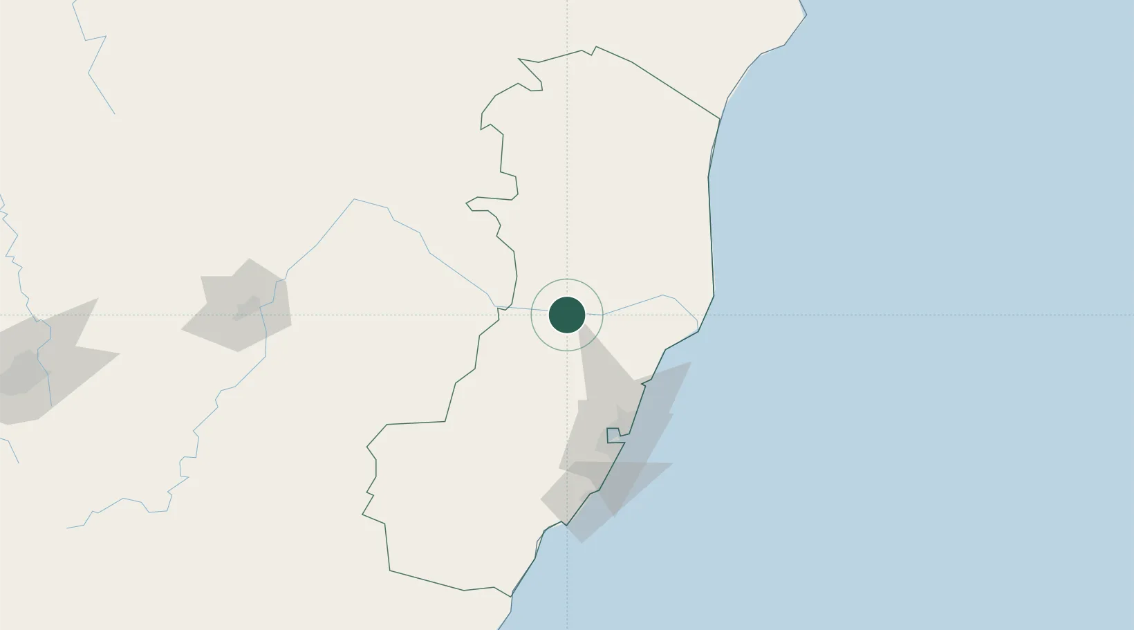
Place type
Populated place
Region
Espírito Santo
Population
101,190
Time zone
America/Sao_Paulo
Elevation
82 m
Location
Nearby Logistics Neighbours
Cities
- 1João Neiva36 km
- 2Linhares62 km
- 3Barra do Riacho Pt / Aracruz71 km
- 4Serra78 km
- 5Cariacica87 km
Ports
- 1Tubarao92 km
- 2Vitoria92 km
- 3Macae337 km
- 4Porto Do Forno408 km
- 5Niteroi454 km
Airports
Trade Zones
- 1ZPE de Aracruz (ES)64 km
- 2ZPE de Teófilo Otoni (MG)207 km
- 3ZPE do Açú (RJ)260 km
- 4ZPE de Itaguaí (RJ)498 km
- 5Zona Franca Ilhéus (BA)568 km
DatabookThe Record of Consolidated Knowledge
Brazil beyond logistics?