Transport Functions
Port
Road
Hub Profile
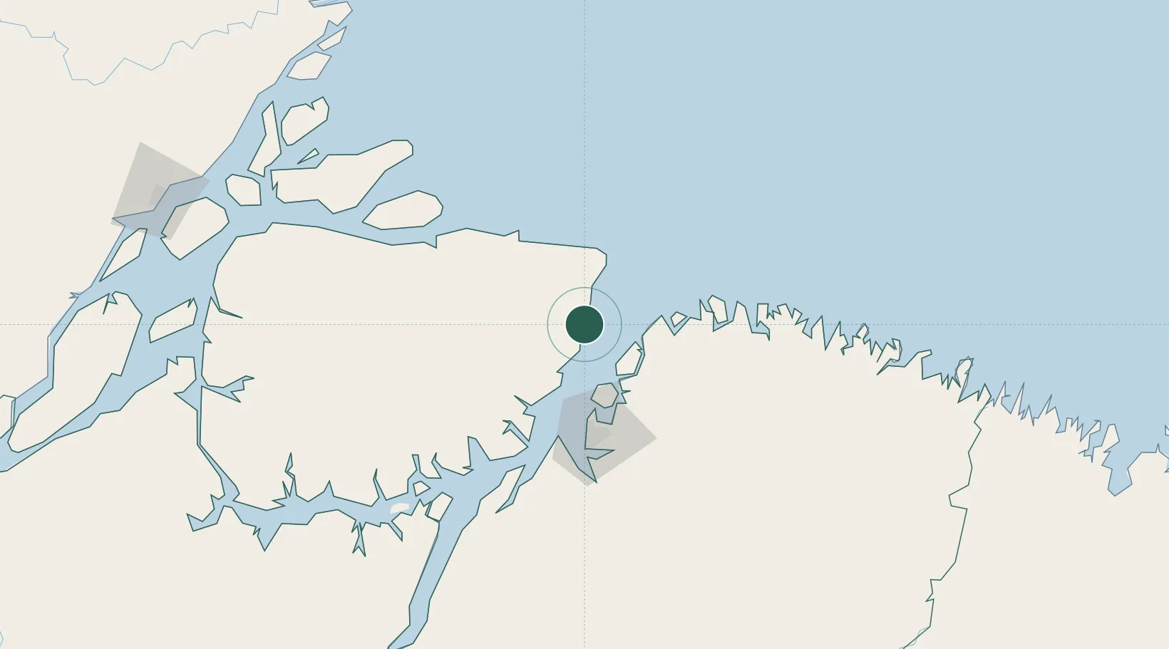
Place type
Populated place
Region
Pará
Population
24,204
Time zone
America/Belem
Elevation
17 m
Location
Nearby Logistics Neighbours
Cities
- 1Salvaterra4 km
- 2Cachoeira do Arari59 km
- 3Ananindeua74 km
- 4Belém74 km
- 5Benevides76 km
Ports
- 1Belem82 km
- 2Vila Do Conde97 km
- 3Cameta204 km
- 4Porto Santana307 km
- 5Itaqui503 km
Airports
Trade Zones
- 1ZPE de Barcarena (PA)90 km
- 2ZPE de São Luís507 km
- 3ZPE de Araguaína (TO)719 km
- 4ZPE de Parnaíba (PI)788 km
- 5ZPE de Pecém (CE) ( Port of Pecém)1119 km
DatabookThe Record of Consolidated Knowledge
Brazil beyond logistics?