Medium airport · Brazil

Frank Miloye Milenkowichi–Marília State AirportSBML

-22.1969°, -49.9265°
4,921 ft
Longest runway
1
Runways
2,134 ft
Elevation

Runway & Layout

Frank Miloye Milenkowichi–Marília State Airport runway & taxiway layout
Runway & taxiway layout — OpenStreetMap (ODbL) / OurAirports

Radio Frequencies

AFIS
130.45 MHz
RDO
OurAirports

Navaids

MRA NDB Marilia 415 kHz
OurAirports

Runways · 1

RunwayDimensions SurfaceTrue headingLit
3/21 4,921 × 115ft Asphalt
OurAirports

Airport Specifications

IATA code
MII
OurAirports
ICAO code
SBML
OurAirports
Airport class
Medium airport
OurAirports
Scheduled service
Yes
OurAirports
Runway surface
Asphalt
OurAirports
Served city
Marília
OurAirports

Location

Location of SBML
Natural Earth 10m (public domain) · São Paulo · SBML · -22.20, -49.93GoogleOSMYandex

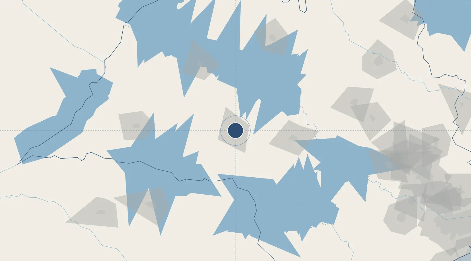
Nearby Logistics Neighbours

Airports
  1. 1Lins Airport63 km
  2. 2Bauru/Arealva–Moussa Nakhal Tobias State Airport88 km
  3. 3Araçatuba Airport128 km
  4. 4Presidente Prudente Airport154 km
  5. 5Prof. Eribelto Manoel Reino State Airport163 km
Nearest neighbours — logibook spatial index (haversine) over the source coordinates
Cities
  1. 1Ourinhos86 km
  2. 2Bauru90 km
  3. 3Pederneiras121 km
  4. 4Araçatuba123 km
  5. 5Bariri124 km
Nearest neighbours — logibook spatial index (haversine) over the source coordinates
Ports
  1. 1Paranagua394 km
  2. 2Santos419 km
  3. 3Sao Francisco469 km
  4. 4Sao Sebastiao496 km
  5. 5Itajai541 km
Nearest neighbours — logibook spatial index (haversine) over the source coordinates
Trade Zones
  1. 1ZPE de Fernandópolis (SP)214 km
  2. 2ZPE de Bataguassú (MS)262 km
  3. 3ZPE de Uberaba (MG)344 km
  4. 4Zona Franca Puerto Iguazu Free Trade Zone605 km
  5. 5Zona Franca Internacional609 km
Nearest neighbours — logibook spatial index (haversine) over the source coordinates
DatabookThe Record of Consolidated Knowledge
Brazil beyond logistics?
Browse databook

All Sources

AirportsOurAirports
Public domain
Portsthe NGA World Port Index
Public domain (US gov)
LocationsUN/LOCODE
UN/LOCODE — free
Trade Zonesthe World Bank SEZ database
CC BY 4.0
Trade ZonesOpen Zone Map
CC BY
InfrastructureOpenStreetMap
ODbL 1.0
← Brazil airports