Transport Functions
Rail
Road
Airport
Hub Profile
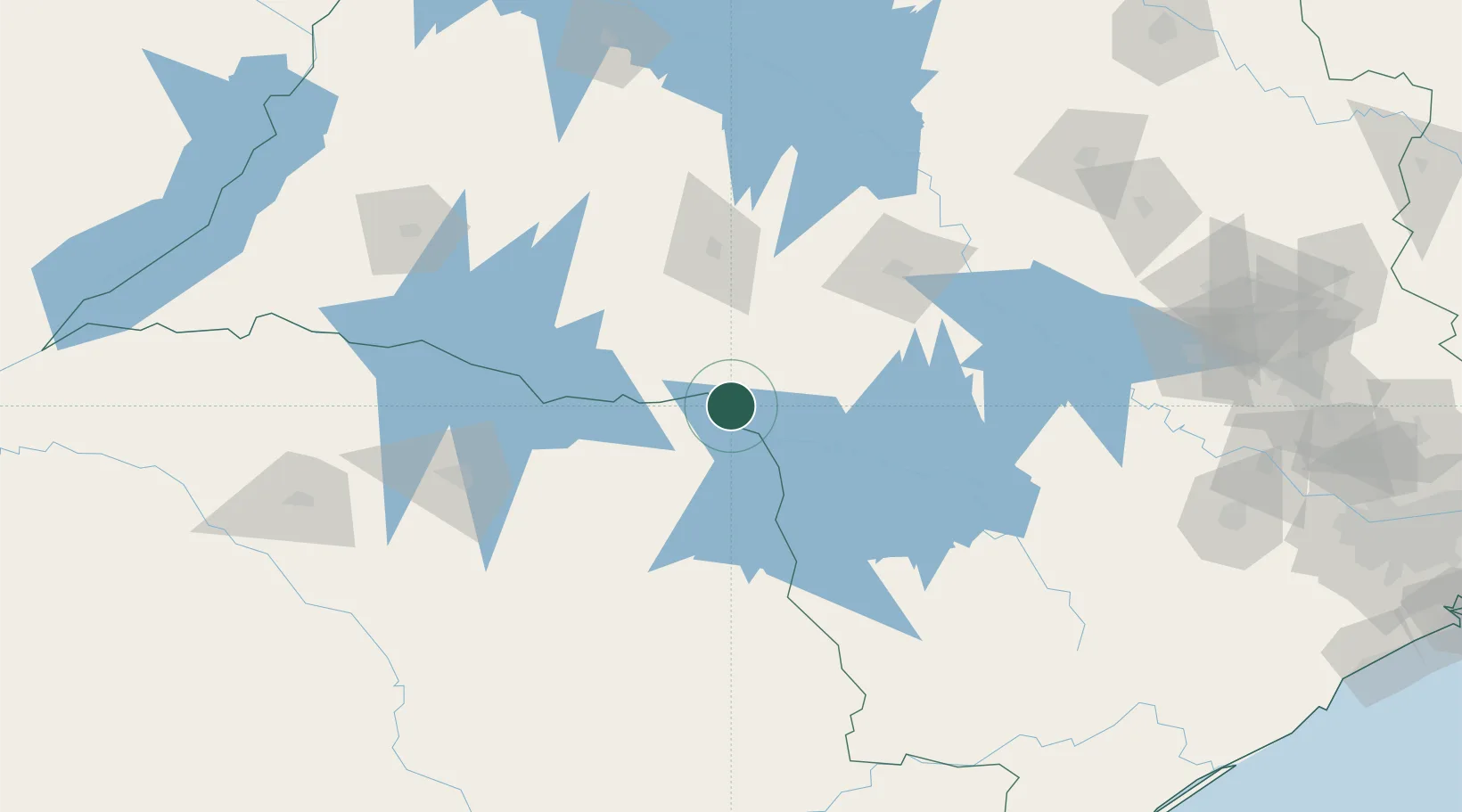
Place type
Populated place
Region
São Paulo
Population
103,970
Time zone
America/Sao_Paulo
Elevation
488 m
Location
Nearby Logistics Neighbours
Cities
- 1Bauru109 km
- 2Pederneiras132 km
- 3Londrina136 km
- 4Cambé152 km
- 5Bariri154 km
Ports
- 1Paranagua313 km
- 2Santos380 km
- 3Sao Francisco386 km
- 4Itajai457 km
- 5Sao Sebastiao465 km
Airports
Trade Zones
- 1ZPE de Bataguassú (MS)298 km
- 2ZPE de Fernandópolis (SP)299 km
- 3ZPE de Uberaba (MG)413 km
- 4ZPE de Imbituba (SC)533 km
- 5Zona Franca Puerto Iguazu Free Trade Zone559 km
DatabookThe Record of Consolidated Knowledge
Brazil beyond logistics?