Transport Functions
Road
Multimodal
Hub Profile
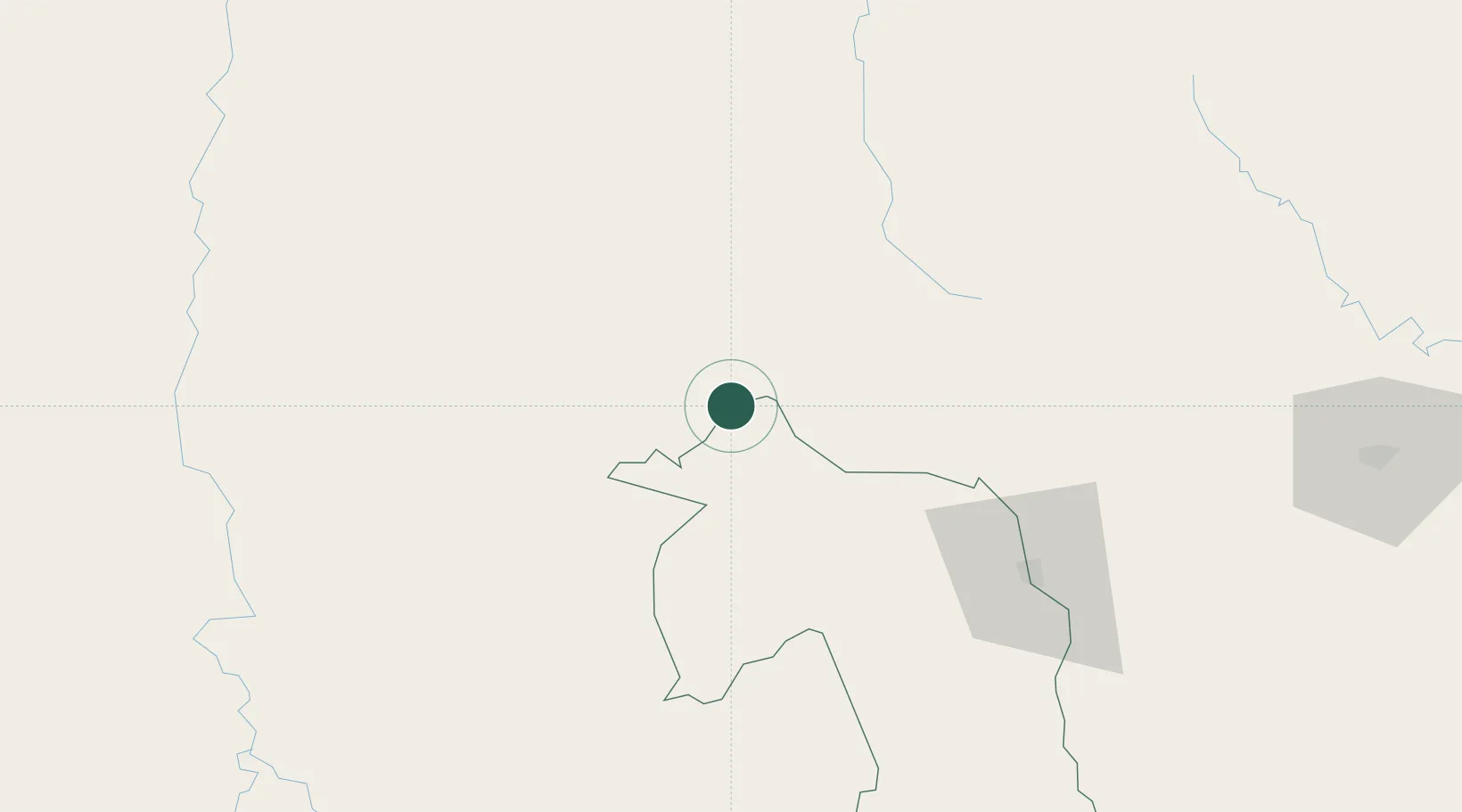
Place type
Populated place
Region
Mato Grosso do Sul
Population
21,613
Time zone
America/Campo_Grande
Elevation
190 m
Location
Nearby Logistics Neighbours
Cities
- 1Hohenau79 km
- 2Ponta Porã94 km
- 3Calera Cue142 km
- 4Puerto la Victoria147 km
- 5Porto Murtinho148 km
Ports
- 1Puerto De Asuncion372 km
- 2Paranagua897 km
- 3Sao Francisco923 km
- 4Itajai960 km
- 5Porto Alegre1028 km
Airports
- 1Santa Teresa Airport59 km
- 2Aeropuerto Nacional Dr. Augusto Roberto Fuster93 km
- 3Bonito Airport95 km
- 4Ponta Porã Airport98 km
- 5Fazenda Dom Felipe Airport128 km
Trade Zones
- 1ZPE DE Corumbá364 km
- 2Central Aguirre Portuaria367 km
- 3Zona Franca Puerto Suárez374 km
- 4Zona Franca Global420 km
- 5Zona Franca Internacional420 km
DatabookThe Record of Consolidated Knowledge
Brazil beyond logistics?