UN/LOCODE hub · Brazil
BRPPA

Ponta Porã

-22.4833°, -55.7000°
92,017
Population
3
Transport functions

Transport Functions

Road
Airport
Multimodal
UN/LOCODE

Hub Profile

Place type
Populated place
GeoNames
Region
Mato Grosso do Sul
GeoNames
Population
92,017
GeoNames
Time zone
America/Campo_Grande
GeoNames
Elevation
659 m
GeoNames

Location

Location of BRPPA
Natural Earth 10m (public domain) · Mato Grosso do Sul · BRPPA · -22.48, -55.70GoogleOSMYandex

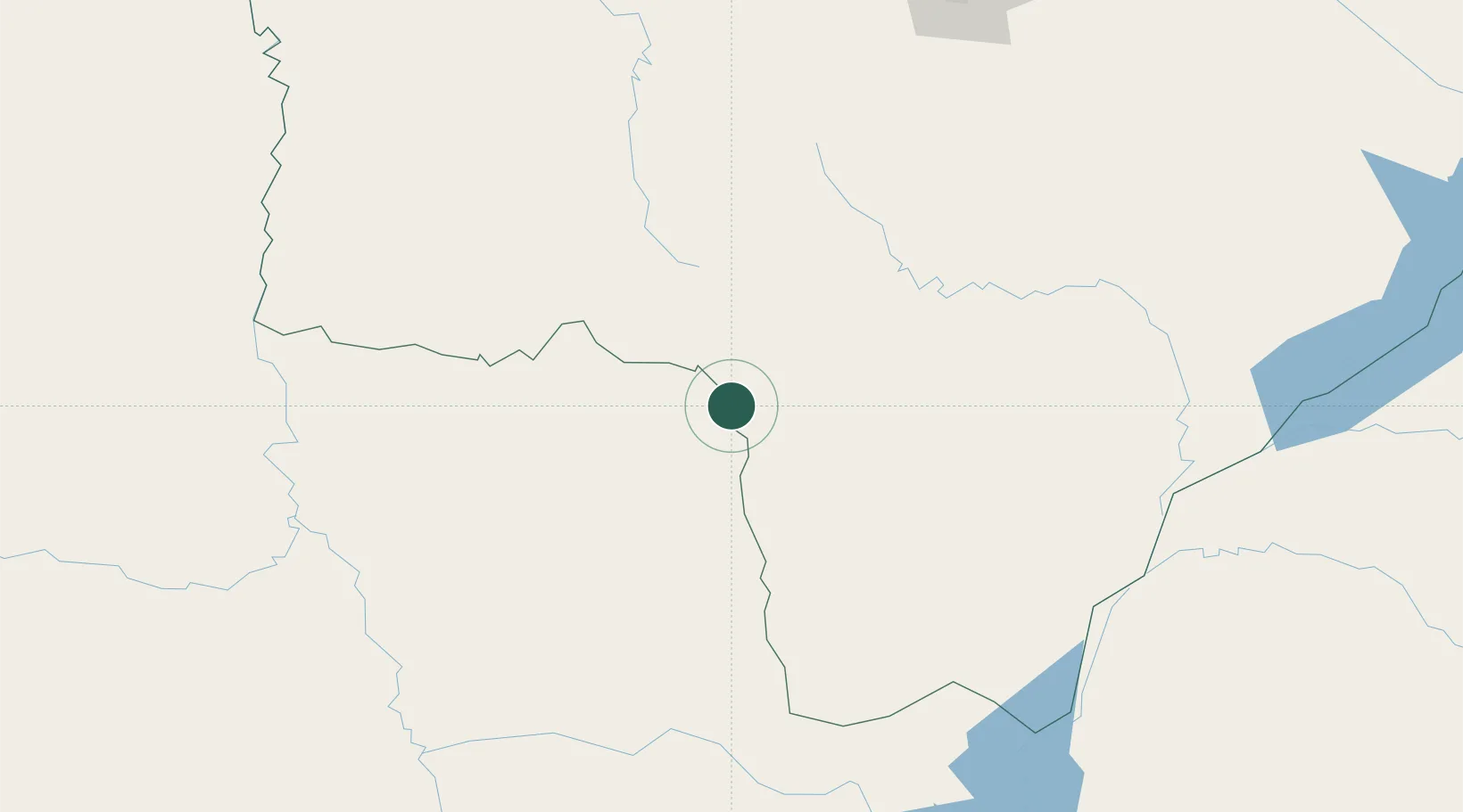
Nearby Logistics Neighbours

Cities
  1. 1Hohenau45 km
  2. 2Bela Vista94 km
  3. 3Concepción205 km
  4. 4Katuete213 km
  5. 5Calera Cue218 km
Nearest neighbours — logibook spatial index (haversine) over the source coordinates
Ports
  1. 1Puerto De Asuncion369 km
  2. 2Paranagua803 km
  3. 3Sao Francisco829 km
  4. 4Itajai867 km
  5. 5Porto Alegre950 km
Nearest neighbours — logibook spatial index (haversine) over the source coordinates
Airports
  1. 1Ponta Porã Airport7 km
  2. 2Aeropuerto Nacional Dr. Augusto Roberto Fuster22 km
  3. 3Fazenda Dom Felipe Airport34 km
  4. 4Santa Teresa Airport97 km
  5. 5Bonito Airport158 km
Nearest neighbours — logibook spatial index (haversine) over the source coordinates
Trade Zones
  1. 1Zona Franca Global350 km
  2. 2Zona Franca Internacional350 km
  3. 3ZPE de Bataguassú (MS)350 km
  4. 4Zona Franca Puerto Iguazu Free Trade Zone365 km
  5. 5ZPE DE Corumbá438 km
Nearest neighbours — logibook spatial index (haversine) over the source coordinates
DatabookThe Record of Consolidated Knowledge
Brazil beyond logistics?
Browse databook

All Sources

LocationsUN/LOCODE
UN/LOCODE — free
LocationsGeoNames
CC BY 4.0
Portsthe NGA World Port Index
Public domain (US gov)
AirportsOurAirports
Public domain
Trade Zonesthe World Bank SEZ database
CC BY 4.0
Trade ZonesOpen Zone Map
CC BY
← Brazil locations