Small airport · Brazil
Bonito AirportSBDB
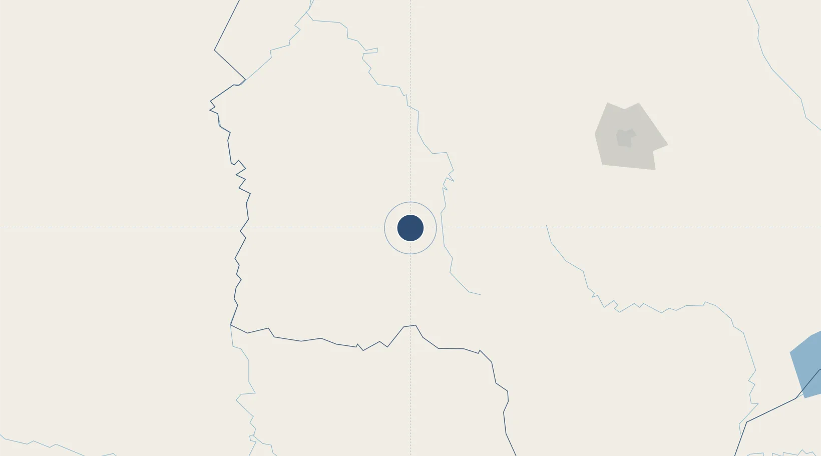
-21.2473°, -56.4524°
6,562 ft
Longest runway
1
Runways
1,180 ft
Elevation
Runway & Layout

Runways · 1
| Runway | Dimensions | Surface | True heading | Lit |
|---|---|---|---|---|
| 18/36 | 6,562 × 98ft | Asphalt | — | — |
Airport Specifications
IATA code
BYO
ICAO code
SBDB
Airport class
Small airport
Scheduled service
Yes
Runway surface
Asphalt
Served city
Bonito
Location
Nearby Logistics Neighbours
Airports
Cities
- 1Bela Vista95 km
- 2Hohenau118 km
- 3Fuerte Olimpo148 km
- 4Puerto Guarani152 km
- 5Porto Murtinho156 km
Ports
- 1Puerto De Asuncion464 km
- 2Paranagua938 km
- 3Sao Francisco971 km
- 4Itajai1013 km
- 5Santos1084 km
Trade Zones
- 1ZPE DE Corumbá280 km
- 2Central Aguirre Portuaria283 km
- 3Zona Franca Puerto Suárez292 km
- 4ZPE de Bataguassú (MS)421 km
- 5Zona Franca Global505 km
DatabookThe Record of Consolidated Knowledge
Brazil beyond logistics?