Transport Functions
Multimodal
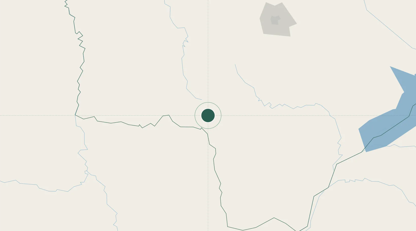
Hub Profile
Place type
Provincial seat
Region
Itapúa
Population
5,306
Time zone
America/Asuncion
Elevation
202 m
Location
Nearby Logistics Neighbours
Cities
- 1Ponta Porã45 km
- 2Bela Vista79 km
- 3Calera Cue218 km
- 4Porto Murtinho224 km
- 5Puerto la Victoria226 km
Ports
- 1Puerto De Asuncion405 km
- 2Paranagua828 km
- 3Sao Francisco858 km
- 4Itajai898 km
- 5Imbituba987 km
Airports
- 1Ponta Porã Airport52 km
- 2Aeropuerto Nacional Dr. Augusto Roberto Fuster63 km
- 3Fazenda Dom Felipe Airport65 km
- 4Santa Teresa Airport109 km
- 5Bonito Airport118 km
Trade Zones
- 1ZPE de Bataguassú (MS)347 km
- 2Zona Franca Global394 km
- 3Zona Franca Internacional394 km
- 4ZPE DE Corumbá396 km
- 5Central Aguirre Portuaria400 km
DatabookThe Record of Consolidated Knowledge
Paraguay beyond logistics?