UN/LOCODE hub · Paraguay
PYPCJ

Puerto la Victoria

-22.2833°, -57.9333°
3
Transport functions

Transport Functions

Port
Rail
Road
UN/LOCODE

Location

Location of PYPCJ
Natural Earth 10m (public domain) · Alto Paraguay · PYPCJ · -22.28, -57.93GoogleOSMYandex

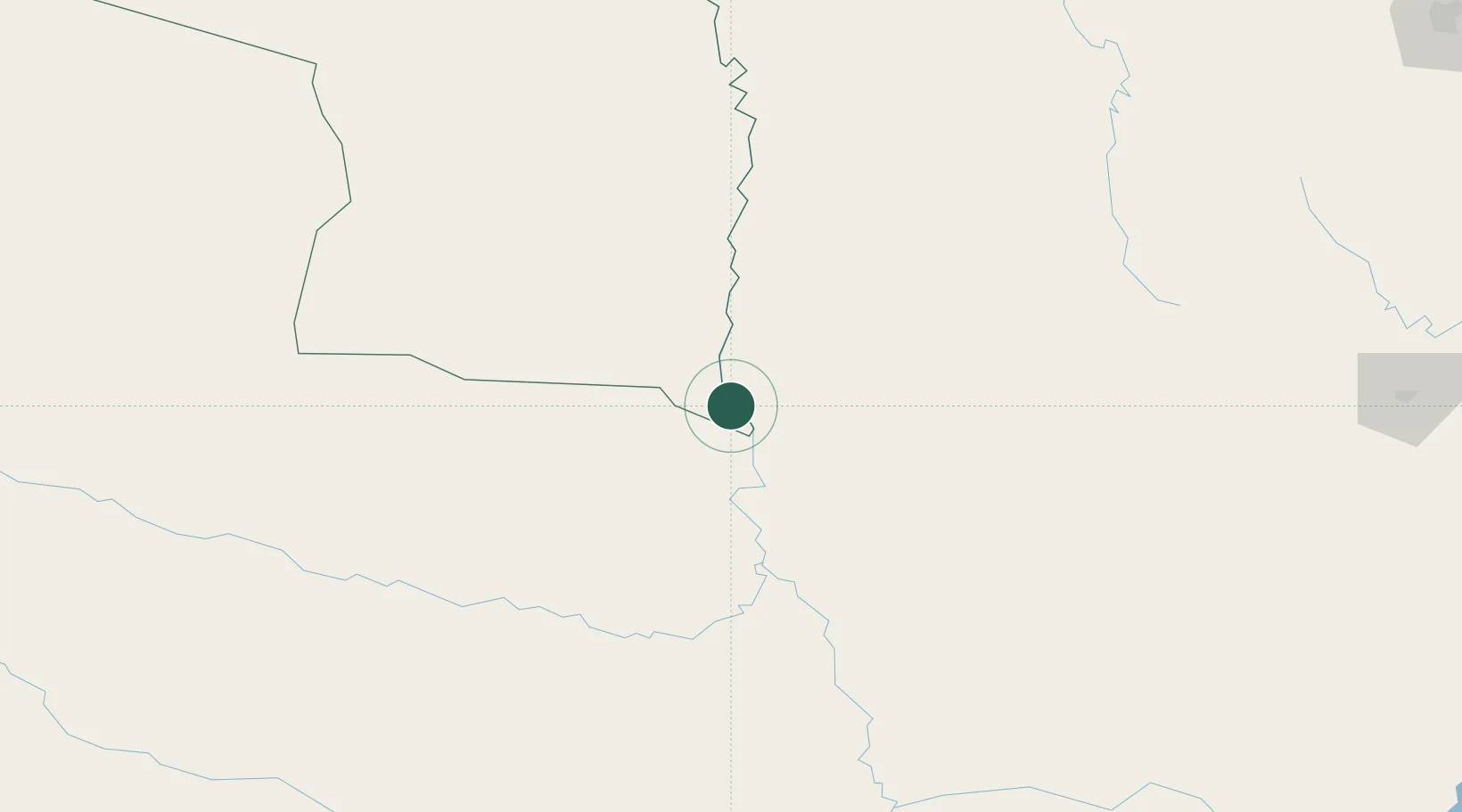
Nearby Logistics Neighbours

Cities
  1. 1Calera Cue30 km
  2. 2Porto Murtinho65 km
  3. 3Puerto Guarani109 km
  4. 4Concepción134 km
  5. 5Fuerte Olimpo137 km
Nearest neighbours — logibook spatial index (haversine) over the source coordinates
Ports
  1. 1Puerto De Asuncion333 km
  2. 2Concordia1014 km
  3. 3Paranagua1022 km
  4. 4Sao Francisco1040 km
  5. 5Itajai1072 km
Nearest neighbours — logibook spatial index (haversine) over the source coordinates
Airports
  1. 1Aeropuerto Nacional Doctor Juan Plate14 km
  2. 2Santa Teresa Airport139 km
  3. 3Lieutenant Colonel Carmelo Peralta National Airport139 km
  4. 4Bonito Airport192 km
  5. 5Aeropuerto Nacional Dr. Augusto Roberto Fuster220 km
Nearest neighbours — logibook spatial index (haversine) over the source coordinates
Trade Zones
  1. 1ZPE DE Corumbá366 km
  2. 2Central Aguirre Portuaria366 km
  3. 3Zona Franca Puerto Suárez368 km
  4. 4Zona Franca Global484 km
  5. 5Zona Franca Internacional485 km
Nearest neighbours — logibook spatial index (haversine) over the source coordinates
DatabookThe Record of Consolidated Knowledge
Paraguay beyond logistics?
Browse databook

All Sources

LocationsUN/LOCODE
UN/LOCODE — free
Portsthe NGA World Port Index
Public domain (US gov)
AirportsOurAirports
Public domain
Trade Zonesthe World Bank SEZ database
CC BY 4.0
Trade ZonesOpen Zone Map
CC BY
← Paraguay locations