Small airport · Brazil
Fazenda Dom Felipe AirportSNFH
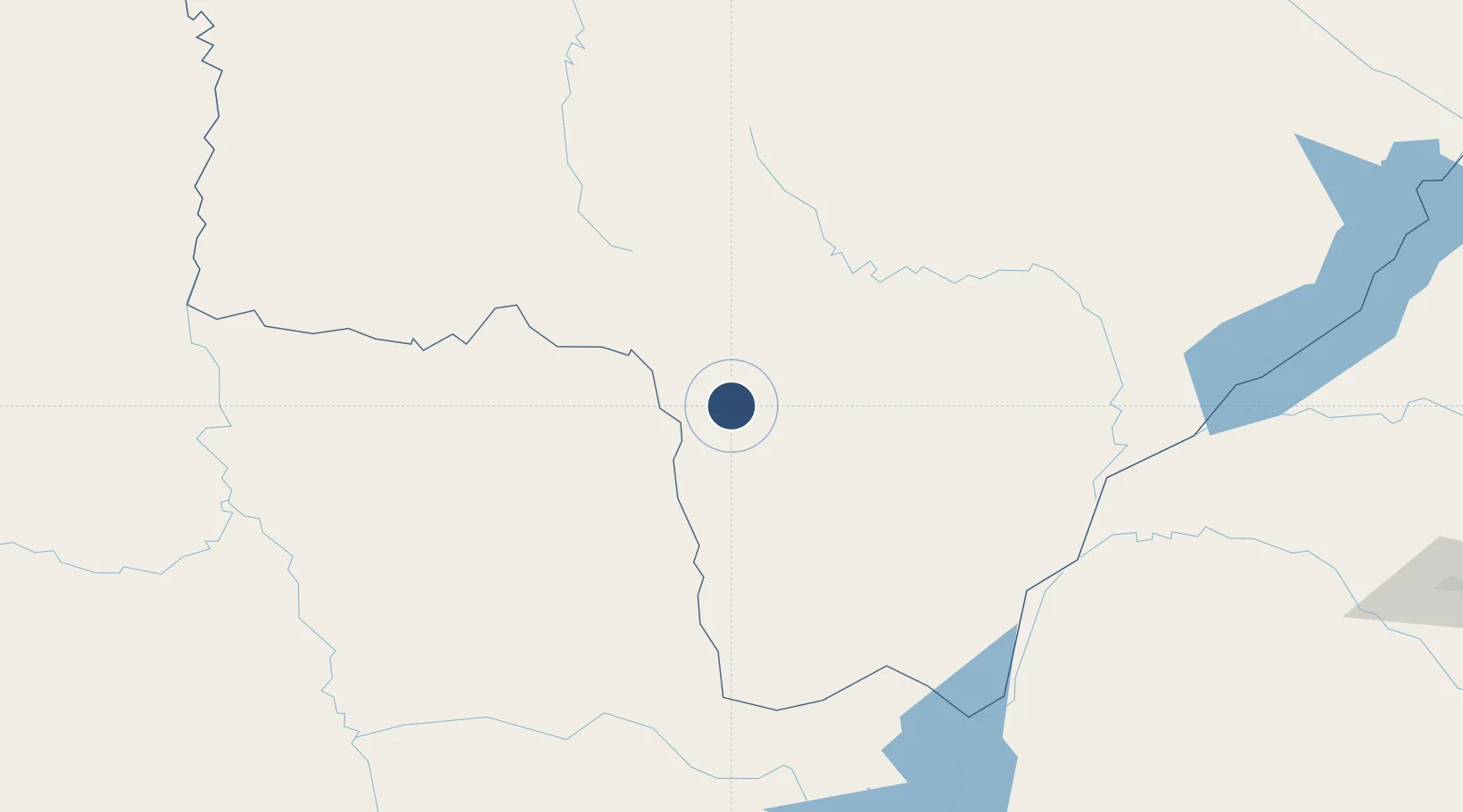
-22.5591°, -55.3811°
3,281 ft
Longest runway
1
Runways
1,864 ft
Elevation
Runway & Layout

Runways · 1
| Runway | Dimensions | Surface | True heading | Lit |
|---|---|---|---|---|
| 13/31 | 3,281 × 66ft | GRASS | — | — |
Airport Specifications
ICAO code
SWFD
Airport class
Small airport
Scheduled service
Yes
Runway surface
GRASS
Served city
Ponta Porã
Location
Nearby Logistics Neighbours
Airports
- 1Ponta Porã Airport33 km
- 2Aeropuerto Nacional Dr. Augusto Roberto Fuster47 km
- 3Santa Teresa Airport129 km
- 4Fazenda Mimosa Airport176 km
- 5Bonito Airport183 km
Cities
- 1Ponta Porã34 km
- 2Hohenau65 km
- 3Bela Vista128 km
- 4Katuete190 km
- 5Mundo Novo191 km
Ports
- 1Puerto De Asuncion381 km
- 2Paranagua770 km
- 3Sao Francisco797 km
- 4Itajai836 km
- 5Imbituba923 km
Trade Zones
- 1ZPE de Bataguassú (MS)321 km
- 2Zona Franca Global333 km
- 3Zona Franca Internacional333 km
- 4Zona Franca Puerto Iguazu Free Trade Zone348 km
- 5ZPE DE Corumbá461 km
DatabookThe Record of Consolidated Knowledge
Brazil beyond logistics?