UN/LOCODE hub · Brazil
BRPMH
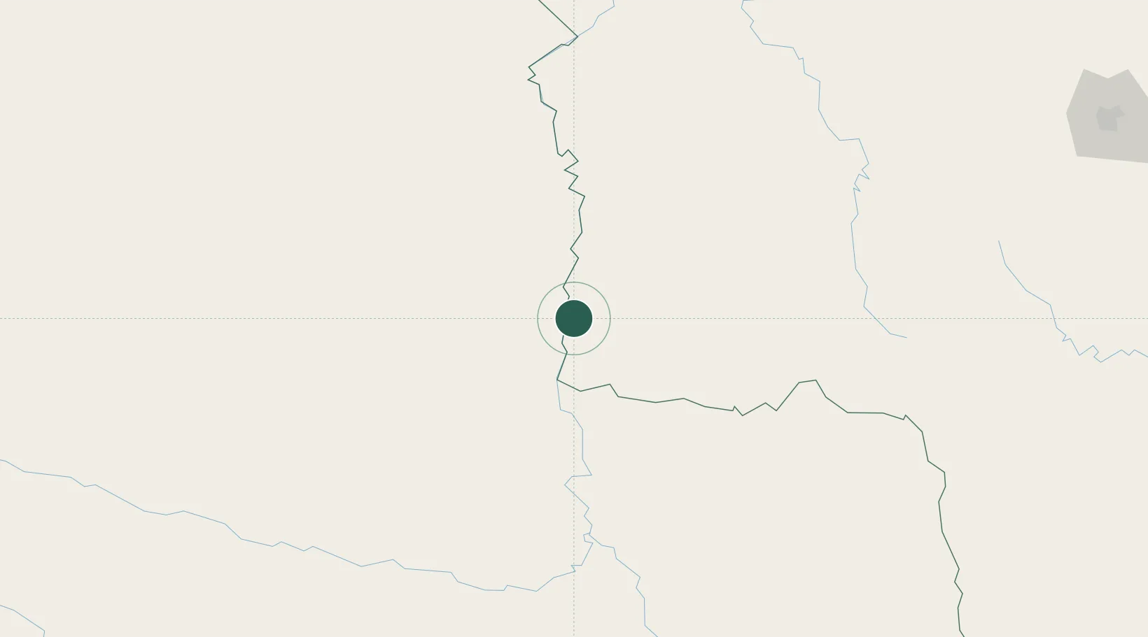
Porto Murtinho
-21.7000°, -57.8833°
12,864
Population
3
Transport functions
Transport Functions
Port
Road
Multimodal
Hub Profile
Place type
Populated place
Region
Mato Grosso do Sul
Population
12,864
Time zone
America/Campo_Grande
Elevation
79 m
Location
Nearby Logistics Neighbours
Cities
- 1Puerto Guarani45 km
- 2Puerto la Victoria65 km
- 3Fuerte Olimpo72 km
- 4Calera Cue93 km
- 5Bela Vista148 km
Ports
- 1Puerto De Asuncion397 km
- 2Paranagua1043 km
- 3Sao Francisco1067 km
- 4Concordia1079 km
- 5Itajai1102 km
Airports
Trade Zones
- 1ZPE DE Corumbá301 km
- 2Central Aguirre Portuaria301 km
- 3Zona Franca Puerto Suárez303 km
- 4Zona Franca Global531 km
- 5Zona Franca Internacional532 km
DatabookThe Record of Consolidated Knowledge
Brazil beyond logistics?